Arkansas Rice Fields NAIP 2019
NAIP 2019 · 60 CMACQUIRED 12 AUGUST 2019
$68
NOTIFY ME WHEN ORDERING OPENS
ABOUT THIS GROUND
The Grand Prairie of eastern Arkansas, between the White and the Arkansas rivers, grows more rice than any other place in the United States; the fields are flooded behind low levees that follow the land's contours, with the reservoirs and tailwater ditches cut into the same grid. This composite is seventy-three NAIP quarter-quads from the 2019 season — sixty-six of them flown on 12 August — levelled against each other on their true shared overlap and merged into one field nine kilometres on a side at 60 cm ground sample distance. In four-band imagery the division is clean: growing rice registers red, standing water comes back dark, and the contour levees draw the shape of the prairie as fine nested lines.
YOU MAY ALSO LIKE
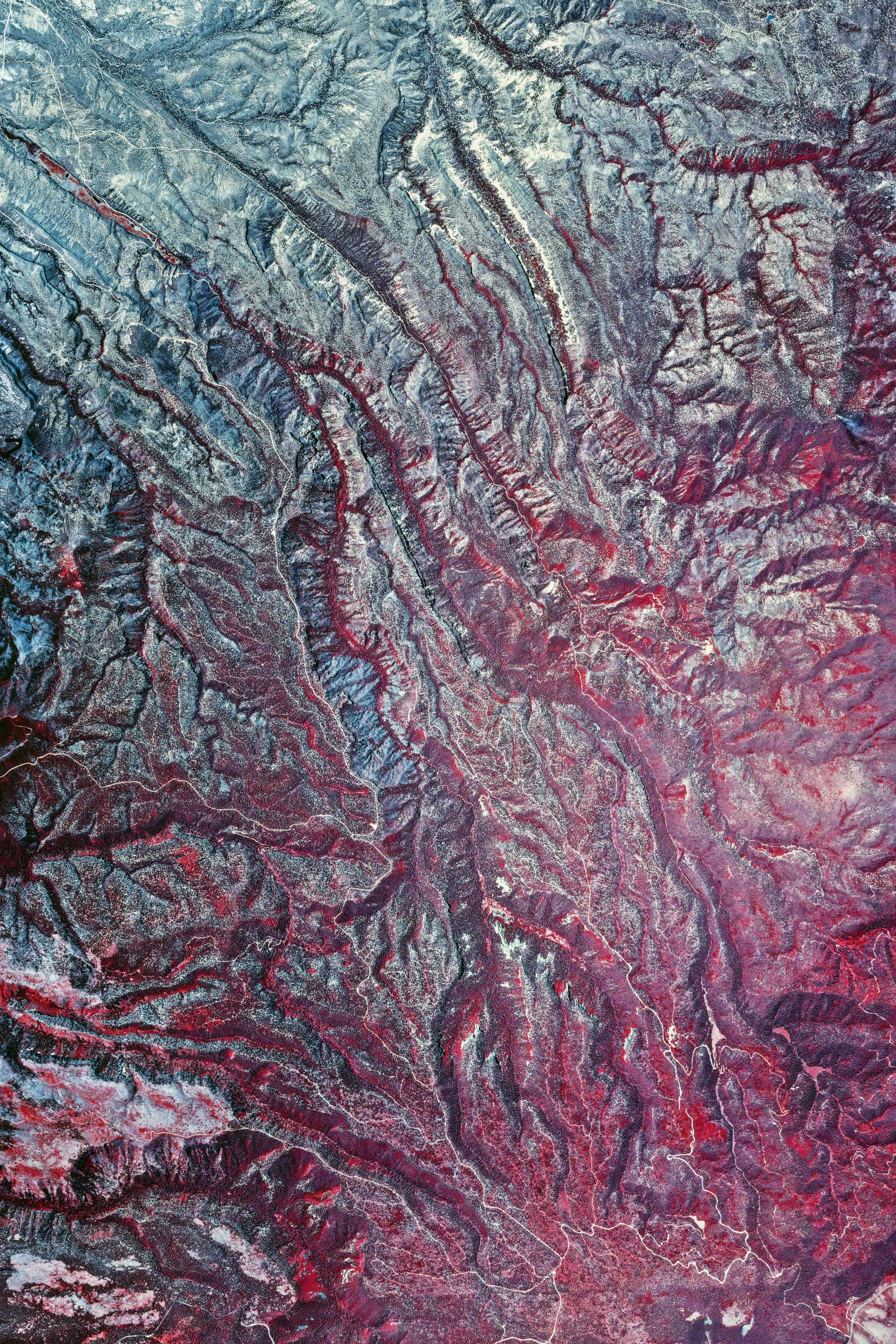
Valles Caldera Roll 419 · Ver. I
NEW MEXICOPRINTS SOON
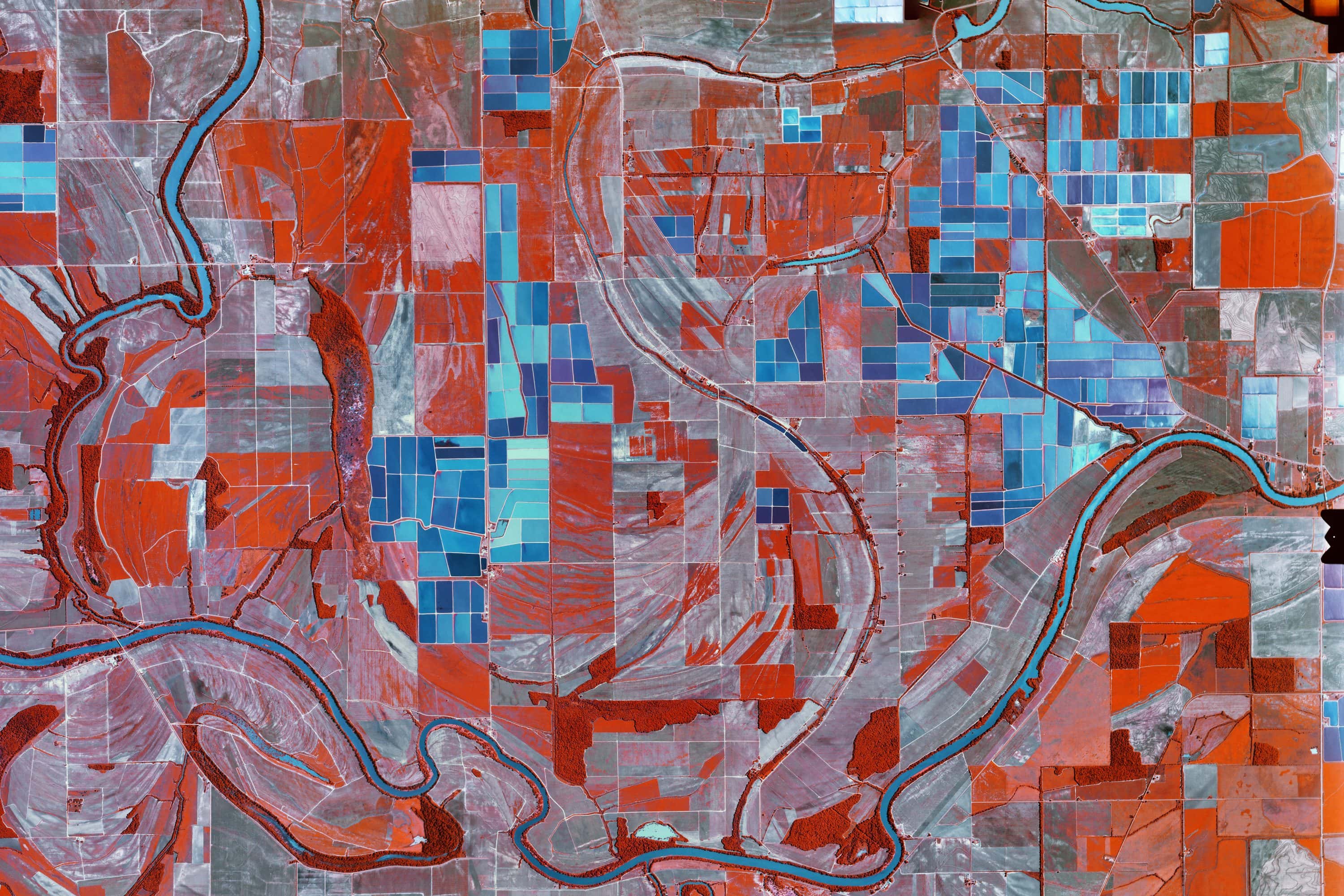
Catfish Ponds Roll 241
MISSISSIPPIPRINTS SOON
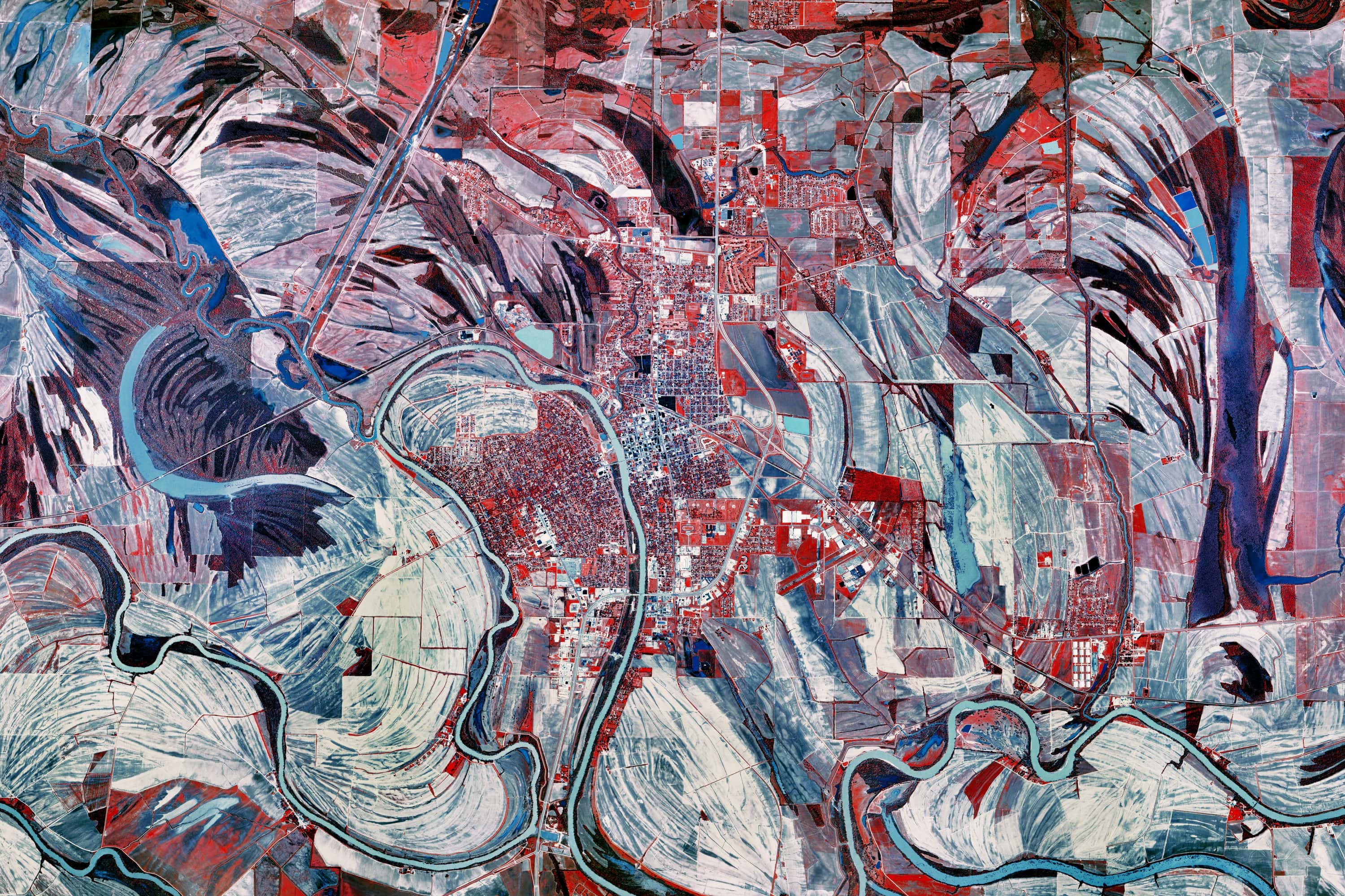
Catfish Ponds Roll 385
MISSISSIPPIPRINTS SOON
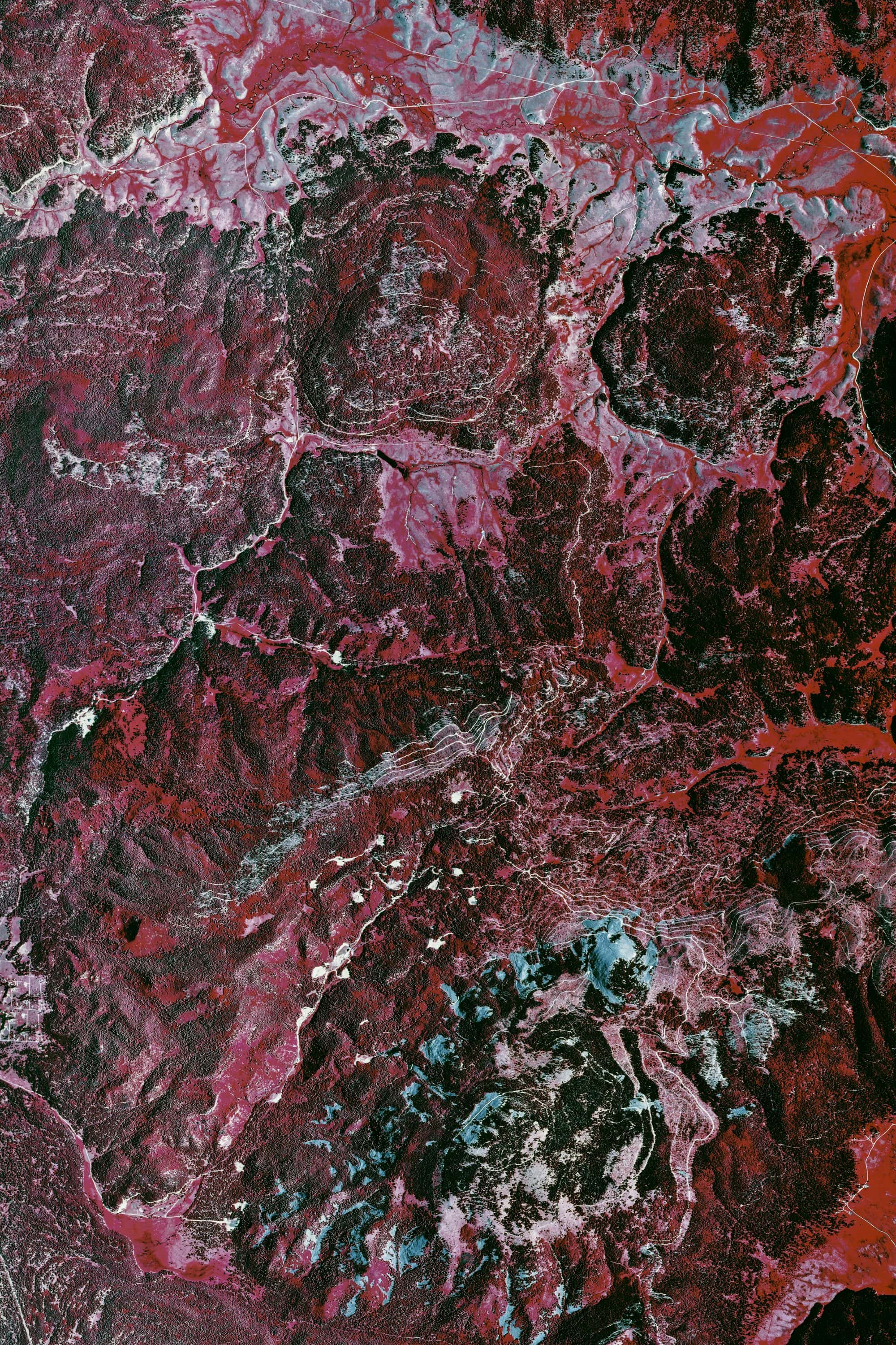
Valles Caldera Roll 417
NEW MEXICOPRINTS SOON
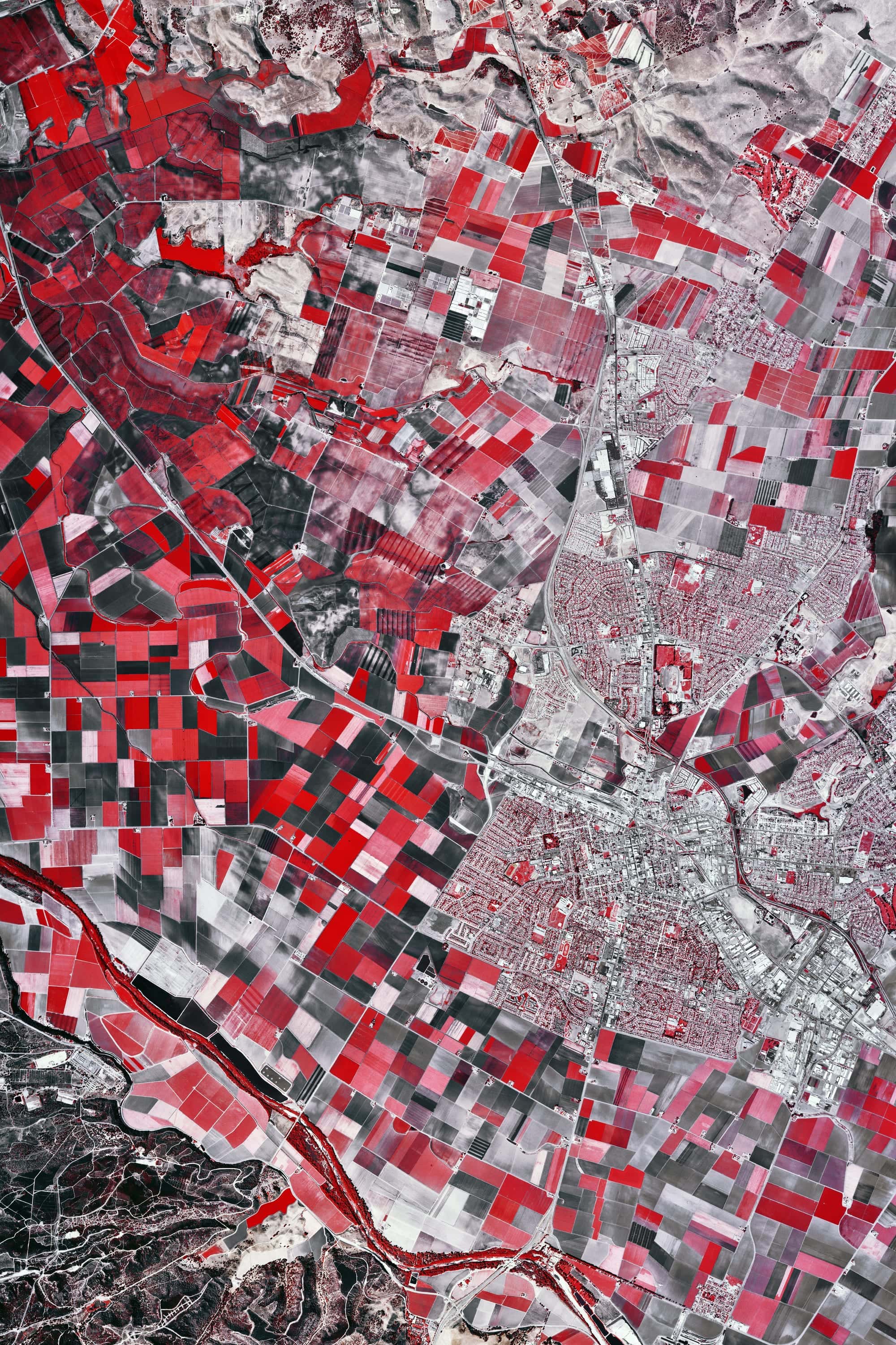
Salinas Valley Roll 467
CALIFORNIAPRINTS SOON
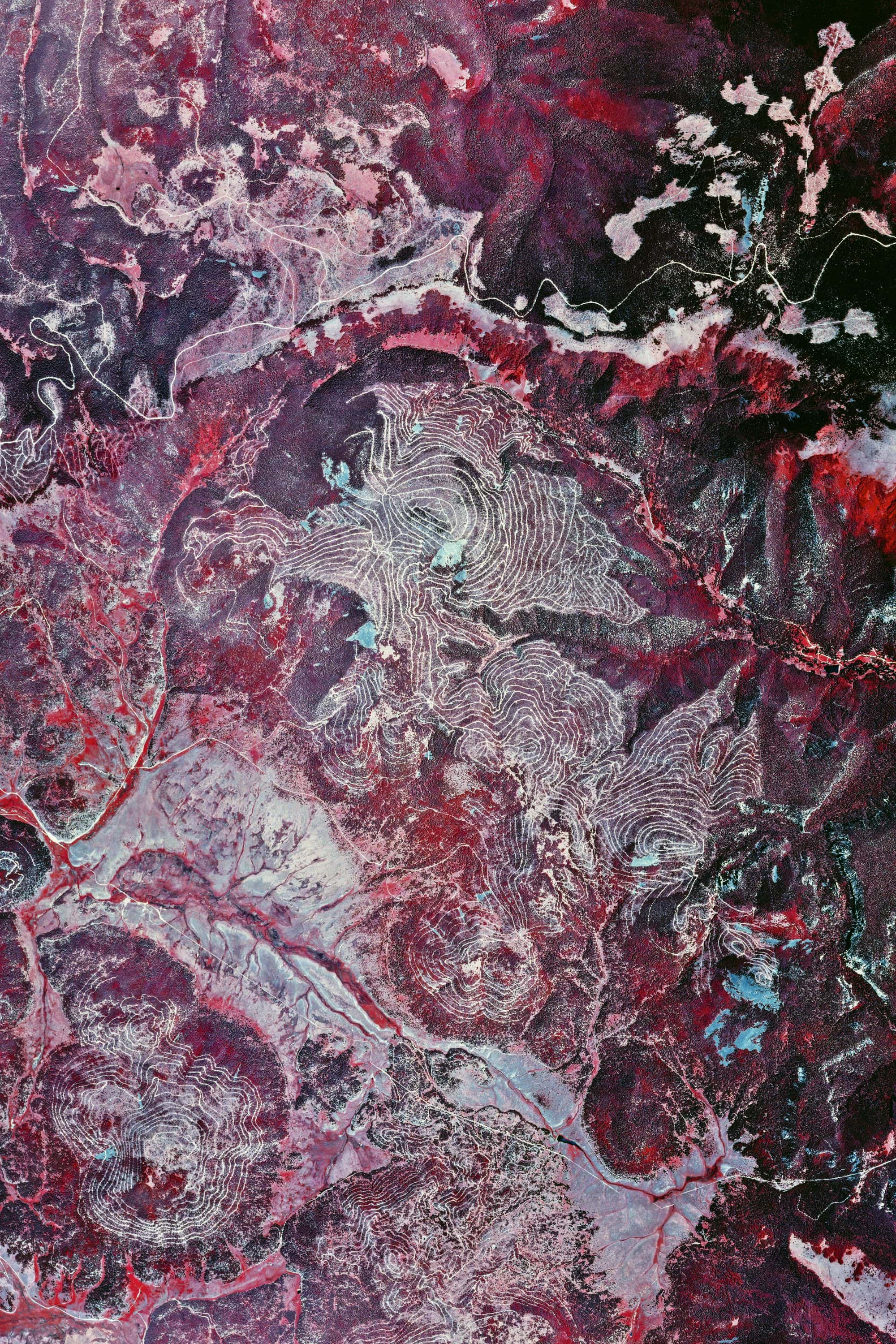
Valles Caldera Roll 419 · Ver. II
NEW MEXICOPRINTS SOON
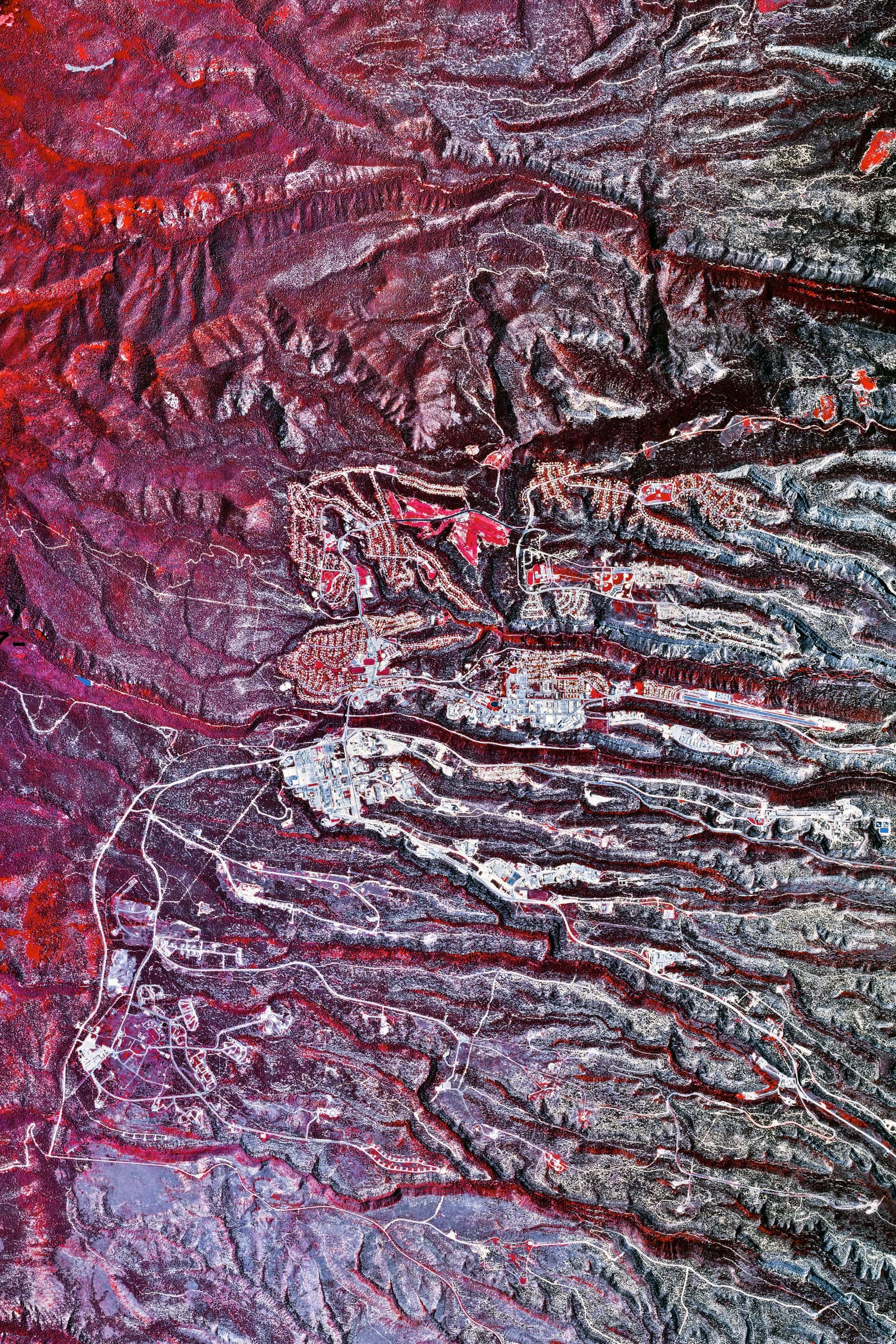
Valles Caldera Roll 377
NEW MEXICOPRINTS SOON
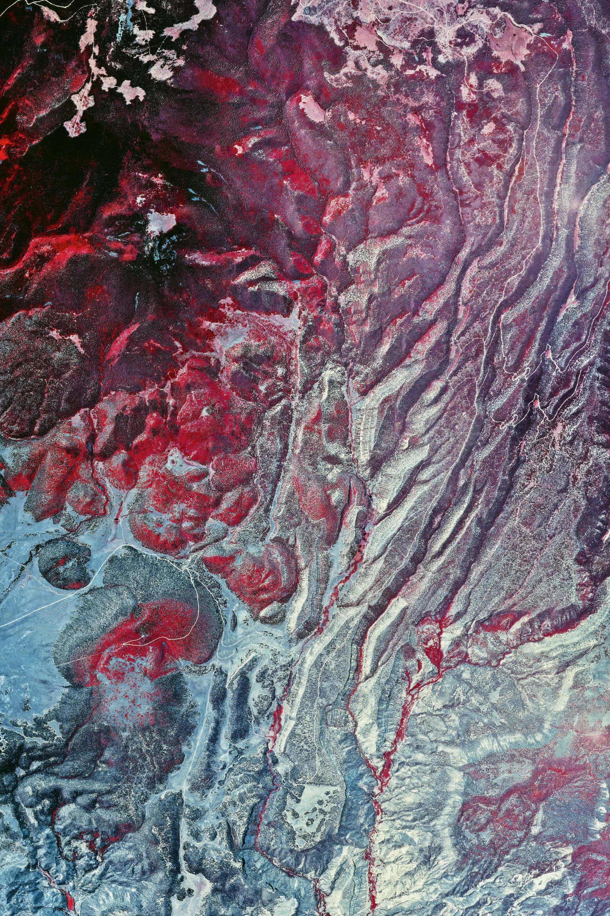
Valles Caldera Roll 419 · Ver. III
NEW MEXICOPRINTS SOON
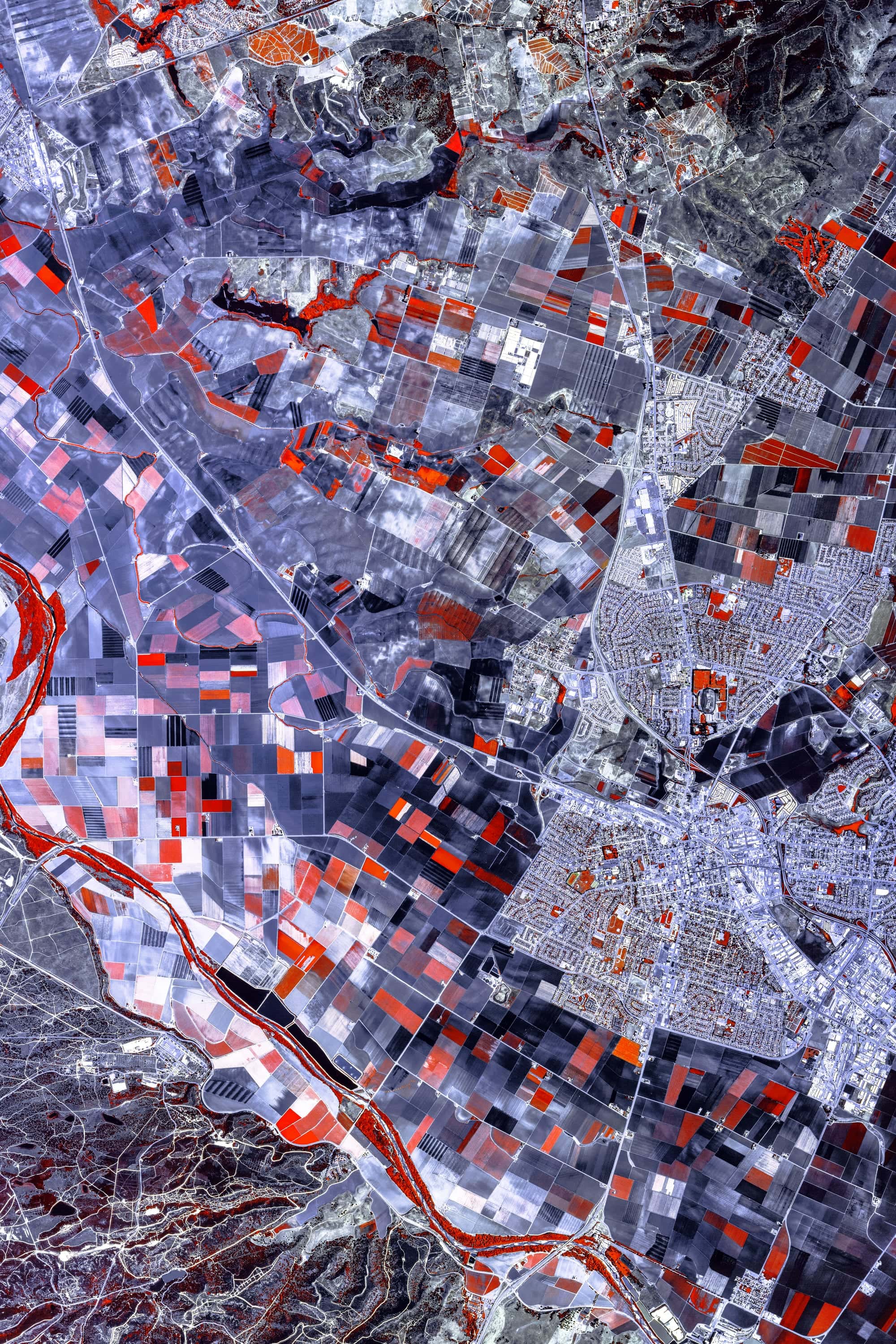
Salinas Valley Roll 337
CALIFORNIAPRINTS SOON
Dead Wood
FROM$49
FIRST LIGHT

Park Lake
FROM$49
CINCINNATI
Saguaro Hillside
FROM$49
SOUTHWEST

Leading Edge
FROM$49
DENVER
Broken Window
FROM$49
FRANCE
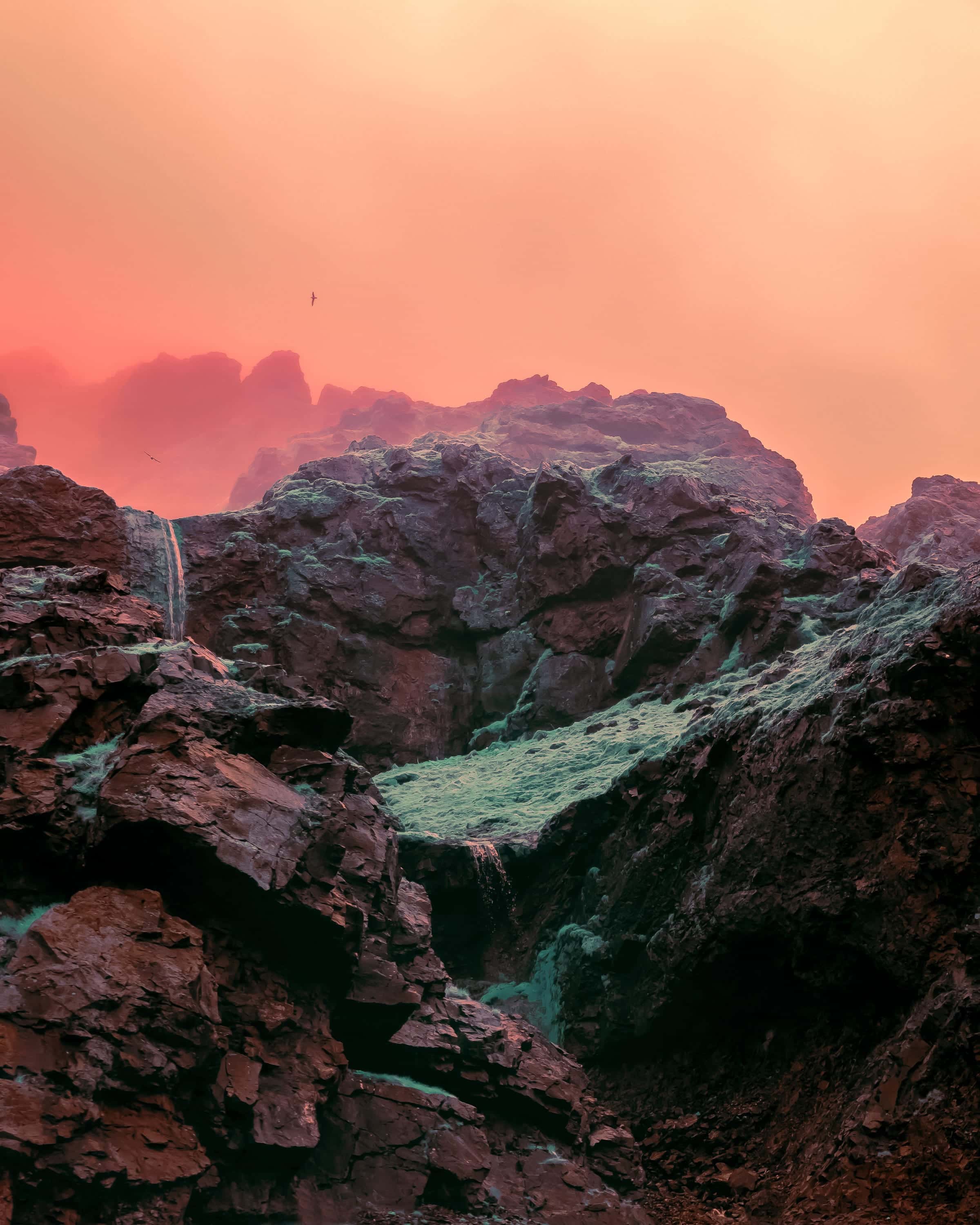
Cliffs and Waterfall
FROM$49
ICELAND
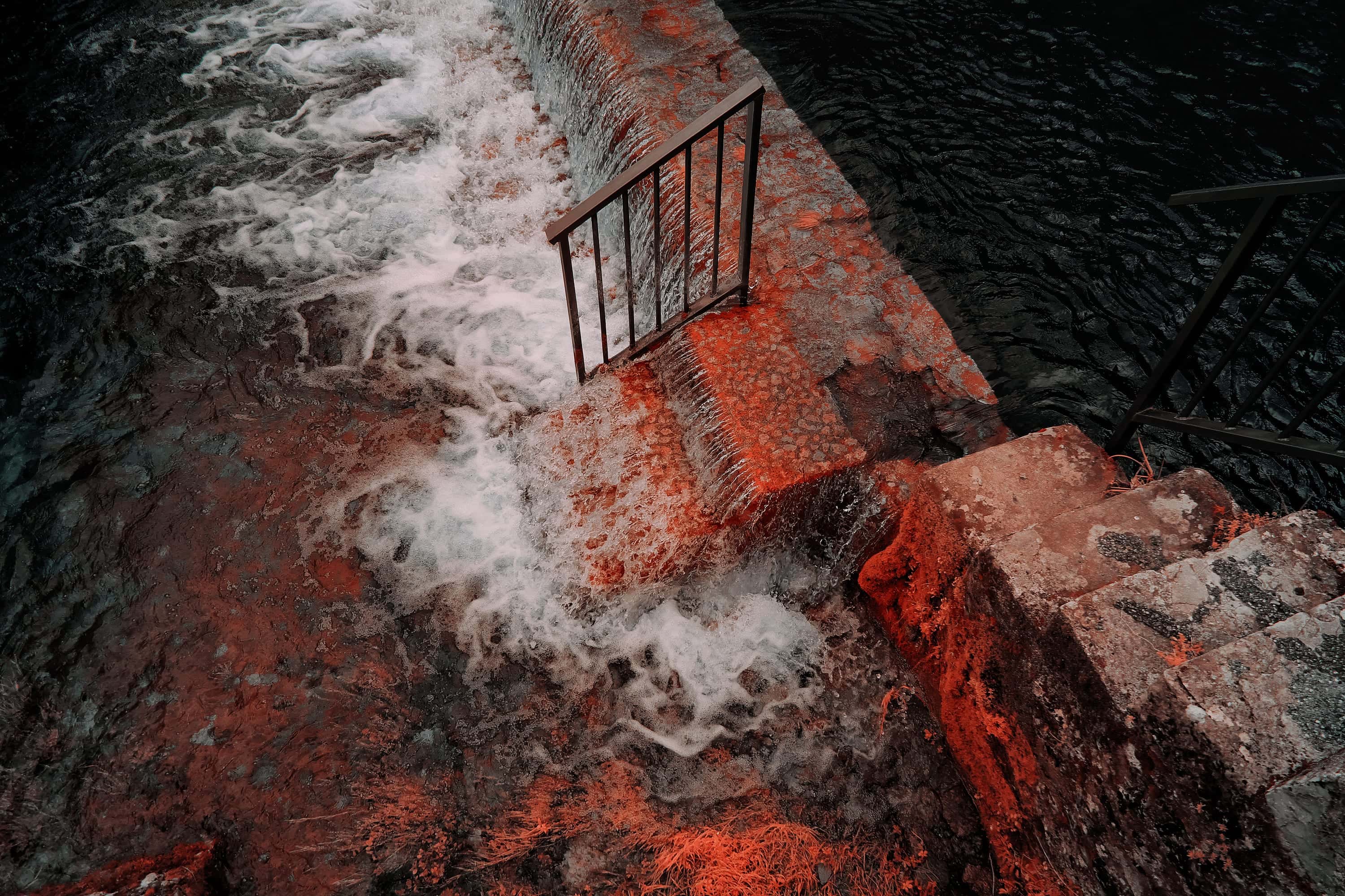
Weir
FROM$49
FRANCE
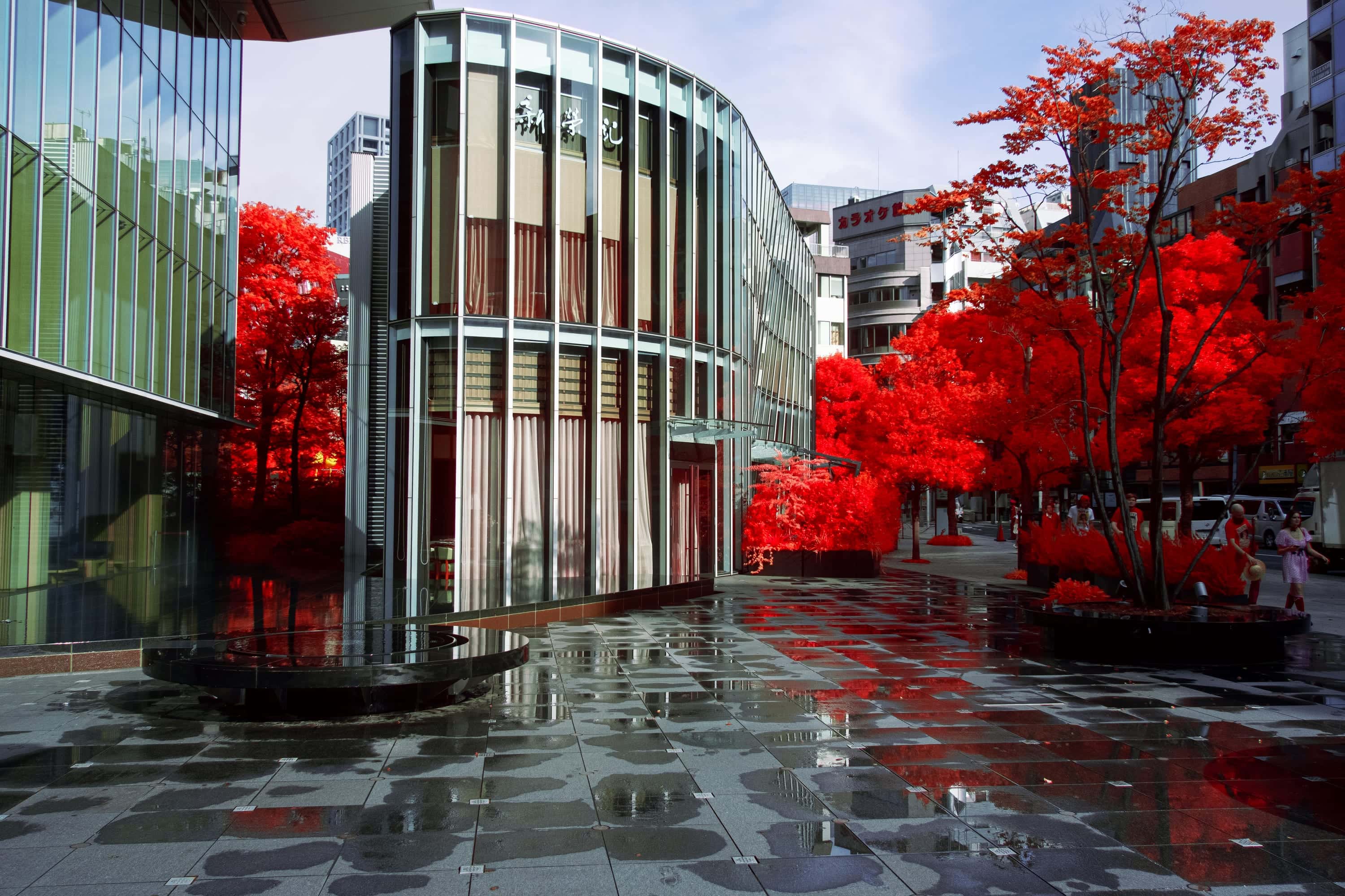
Maples on the Plaza
FROM$49
JAPAN

Rippled Glass
FROM$49
ATLANTA

Balconies and Glass
FROM$49
ATLANTA
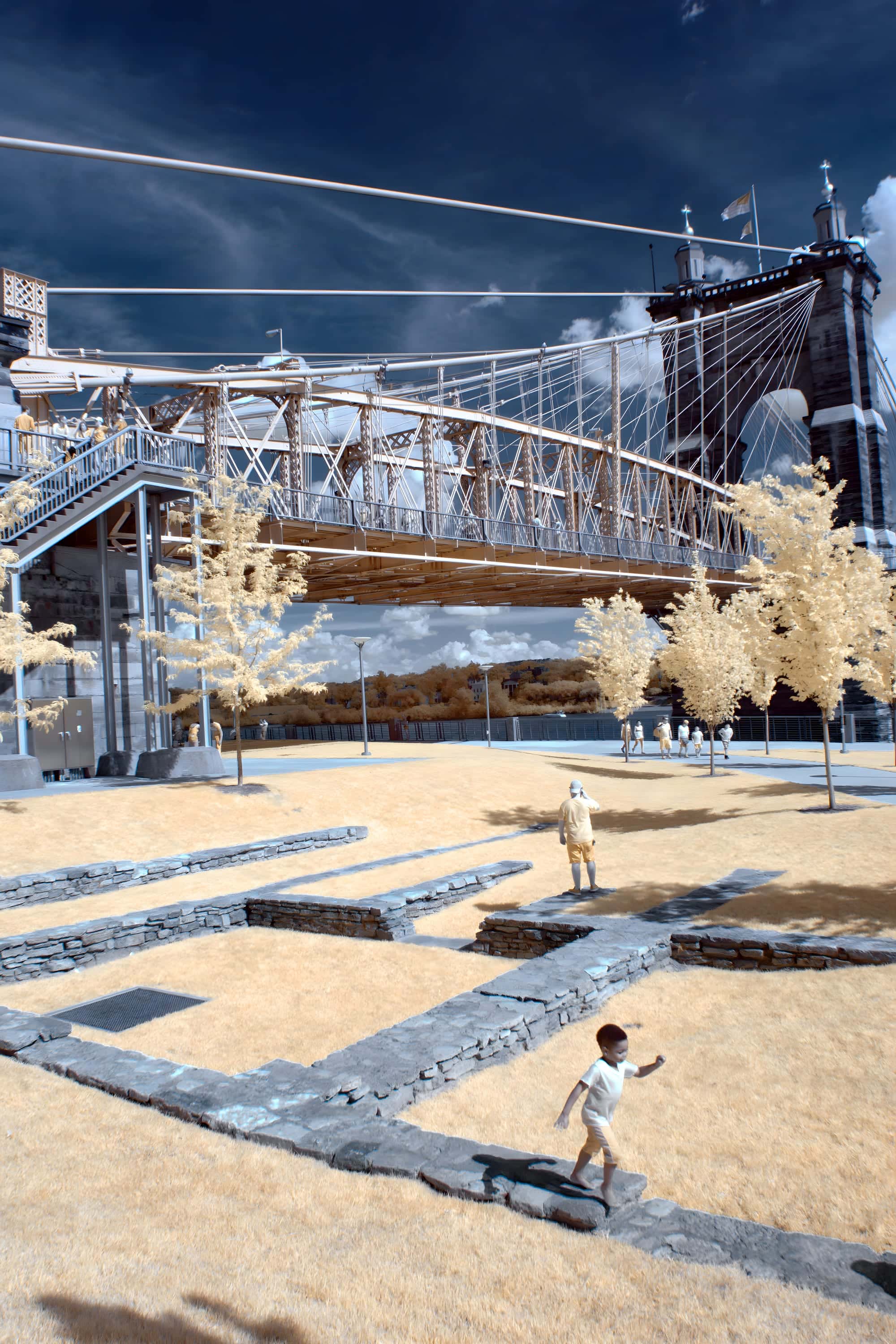
Roebling Suspension Bridge
FROM$49
FIRST LIGHT
Source imagery courtesy of the USDA National Agriculture Imagery Program, via the U.S. Geological Survey, EROS Archive.