Salinas Valley Roll 337
NHAP81 · 337-008/020ACQUIRED 5 JULY 1982
$68
NOTIFY ME WHEN ORDERING OPENS
ABOUT THIS GROUND
The Salinas Valley runs northwest between the Gabilan Range and the Santa Lucia Mountains, from the Monterey Bay coast inland past King City, with the floor farmed in long rectangular blocks and the ranges on either side unfarmed. This composite is roll 337, frames 008–020, flown 5 July 1982 at 40,400 feet and 1:58,800 on nine-inch colour infrared film. On that film the division is the whole picture: irrigated fields register as saturated blocks against the dry hills.
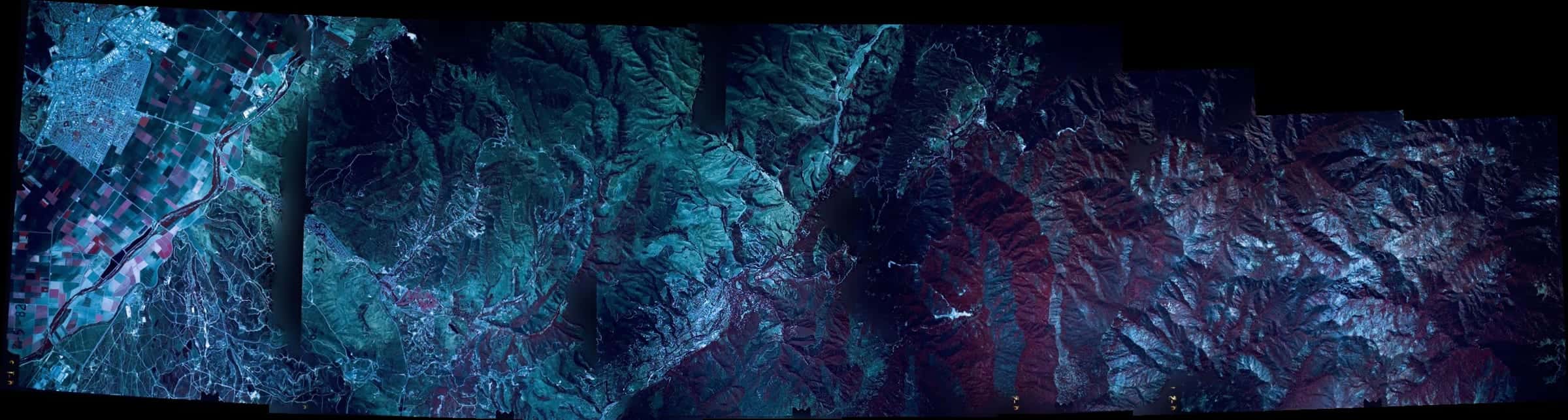
2 FLIGHT LINESUNCROPPED FILMVIEW →
YOU MAY ALSO LIKE
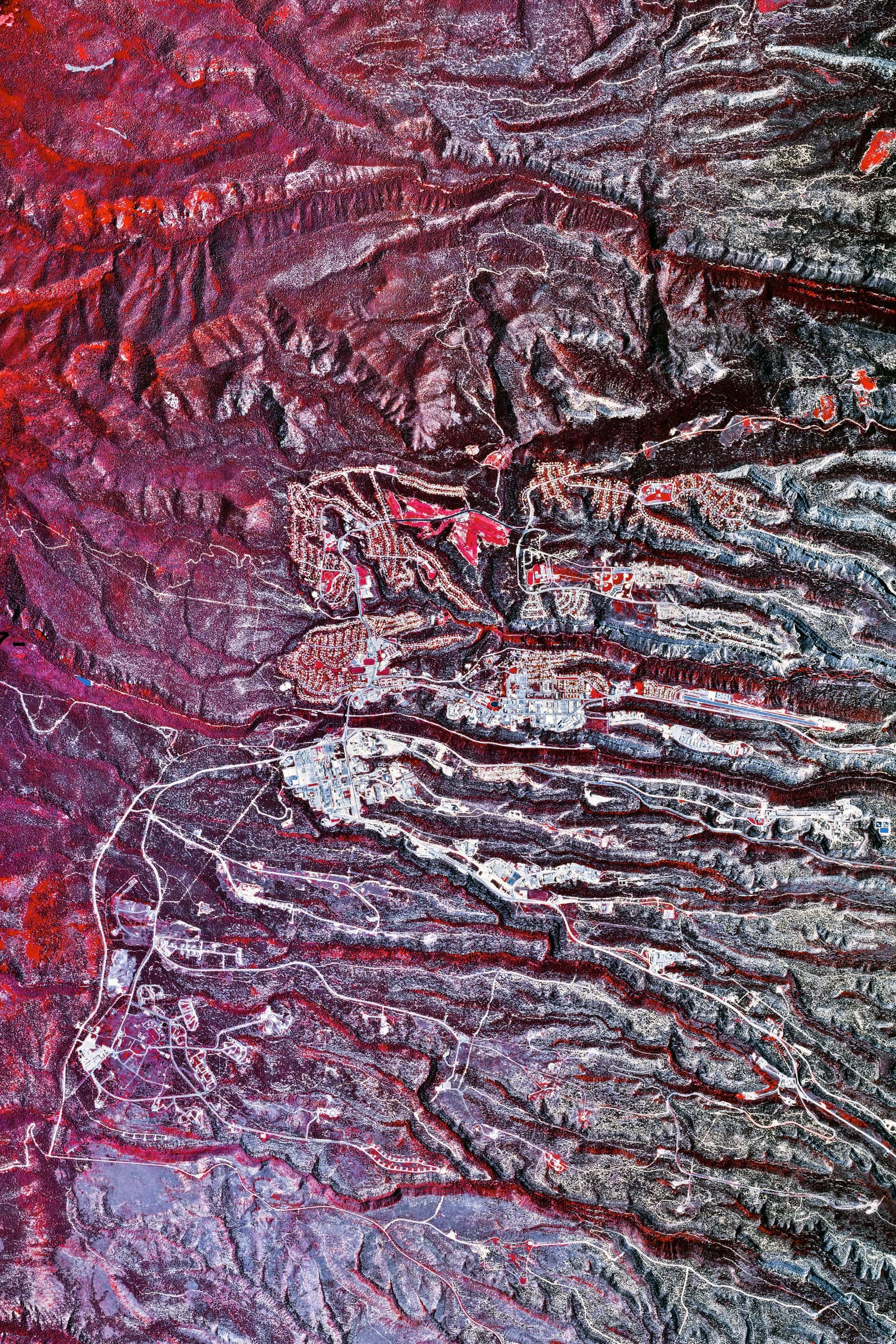
Valles Caldera Roll 377
NEW MEXICOPRINTS SOON

Catfish Ponds Roll 385
MISSISSIPPIPRINTS SOON
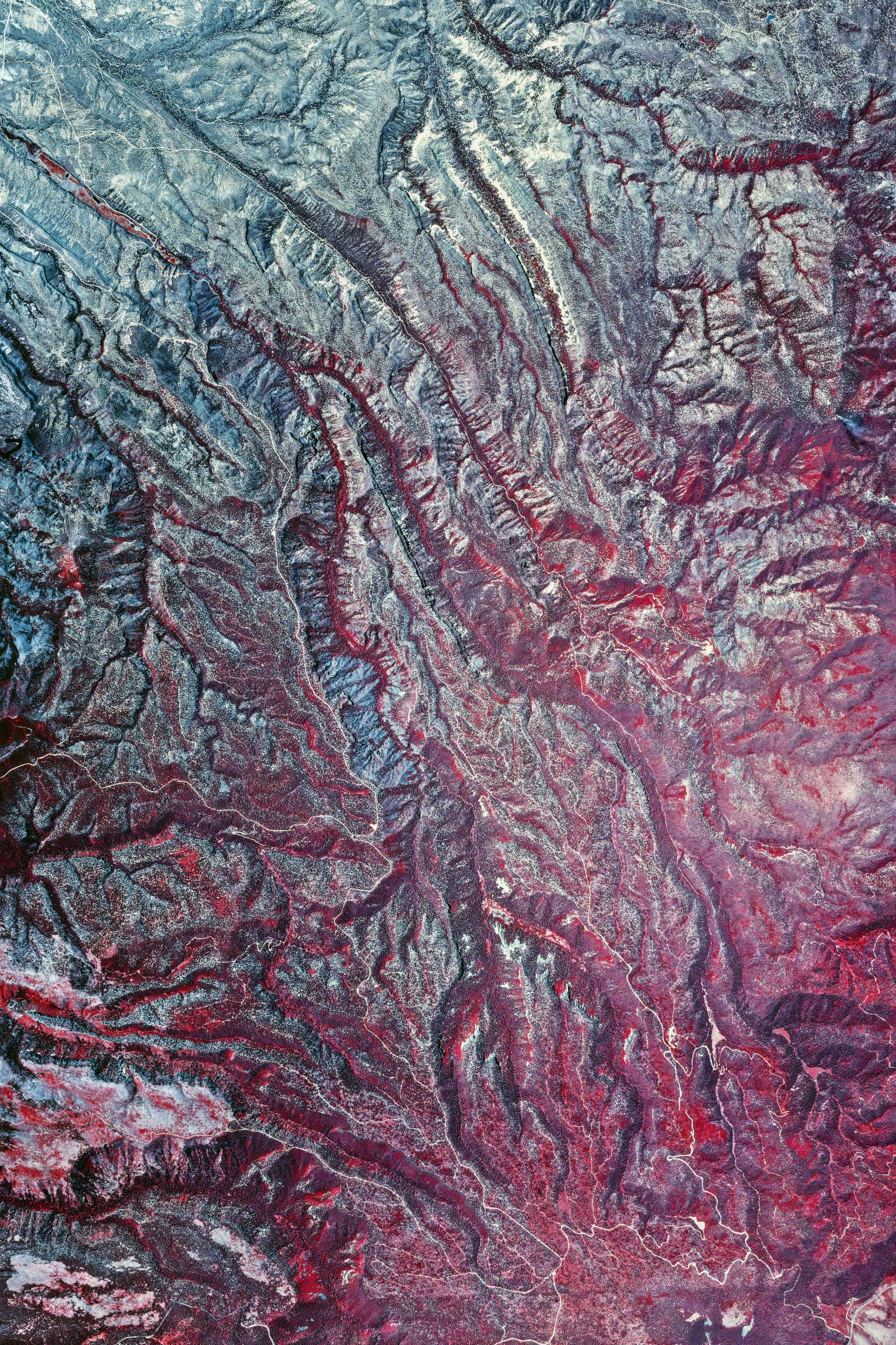
Valles Caldera Roll 419 · Ver. I
NEW MEXICOPRINTS SOON
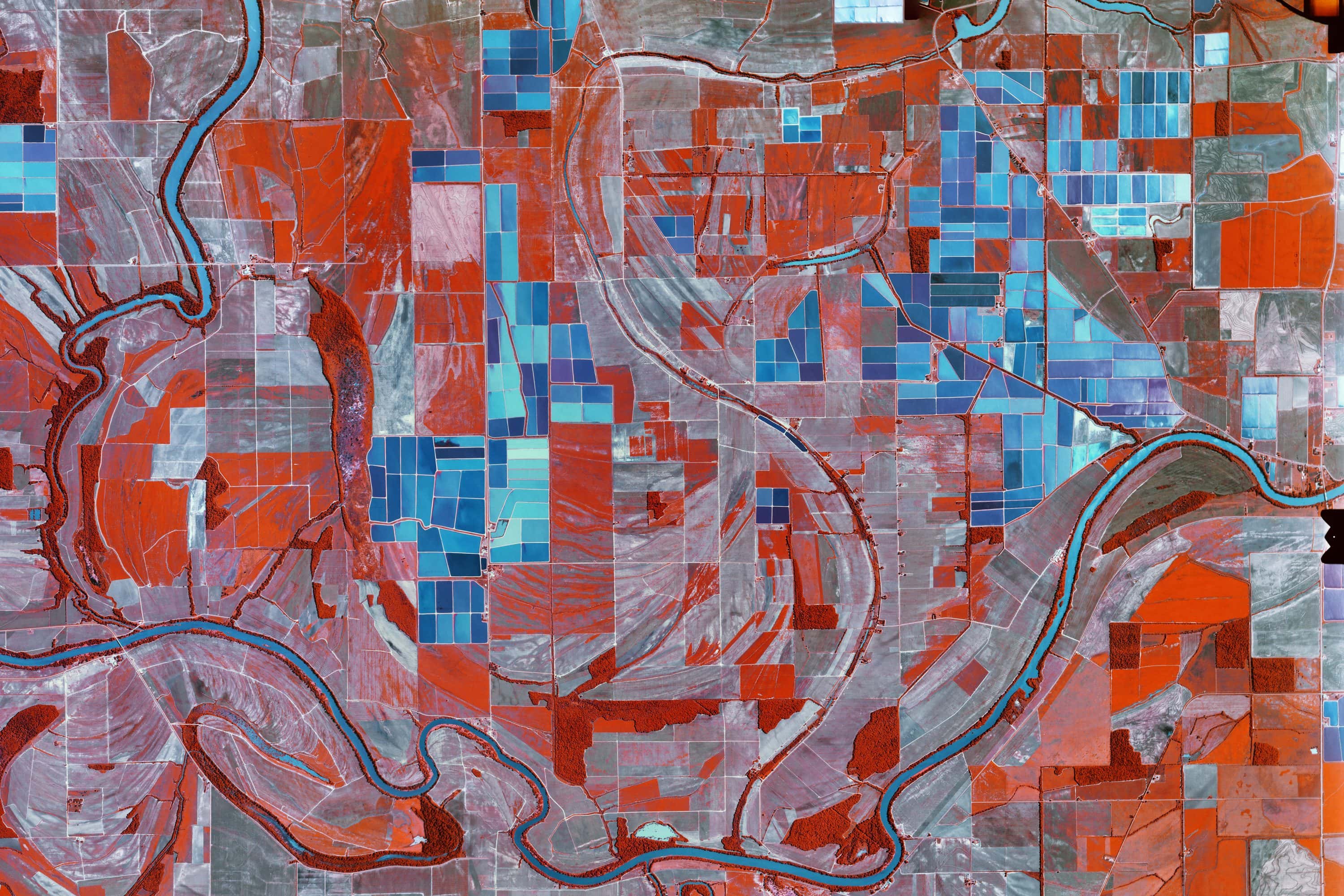
Catfish Ponds Roll 241
MISSISSIPPIPRINTS SOON
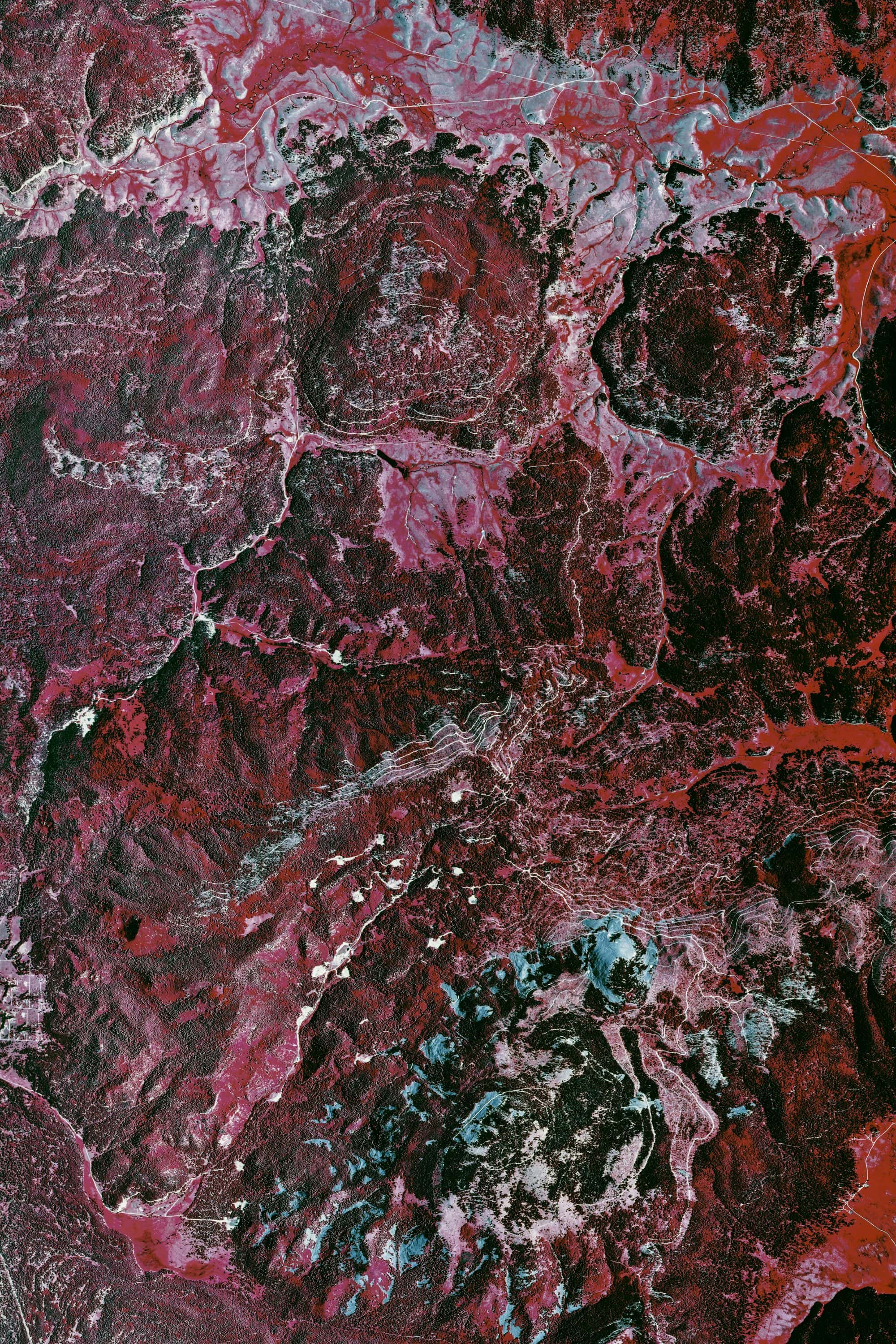
Valles Caldera Roll 417
NEW MEXICOPRINTS SOON
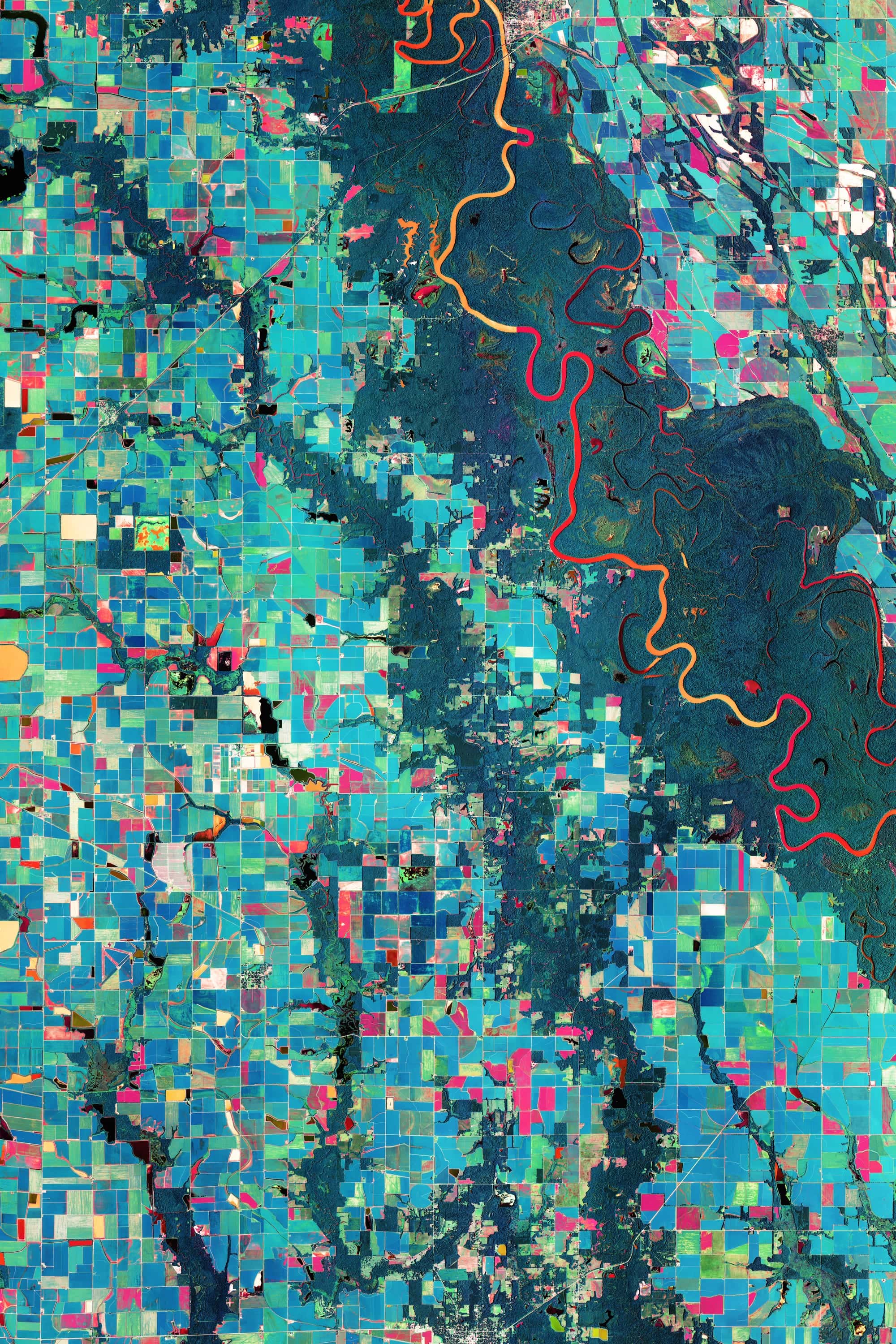
Arkansas Rice Fields NAIP 2019
ARKANSASPRINTS SOON
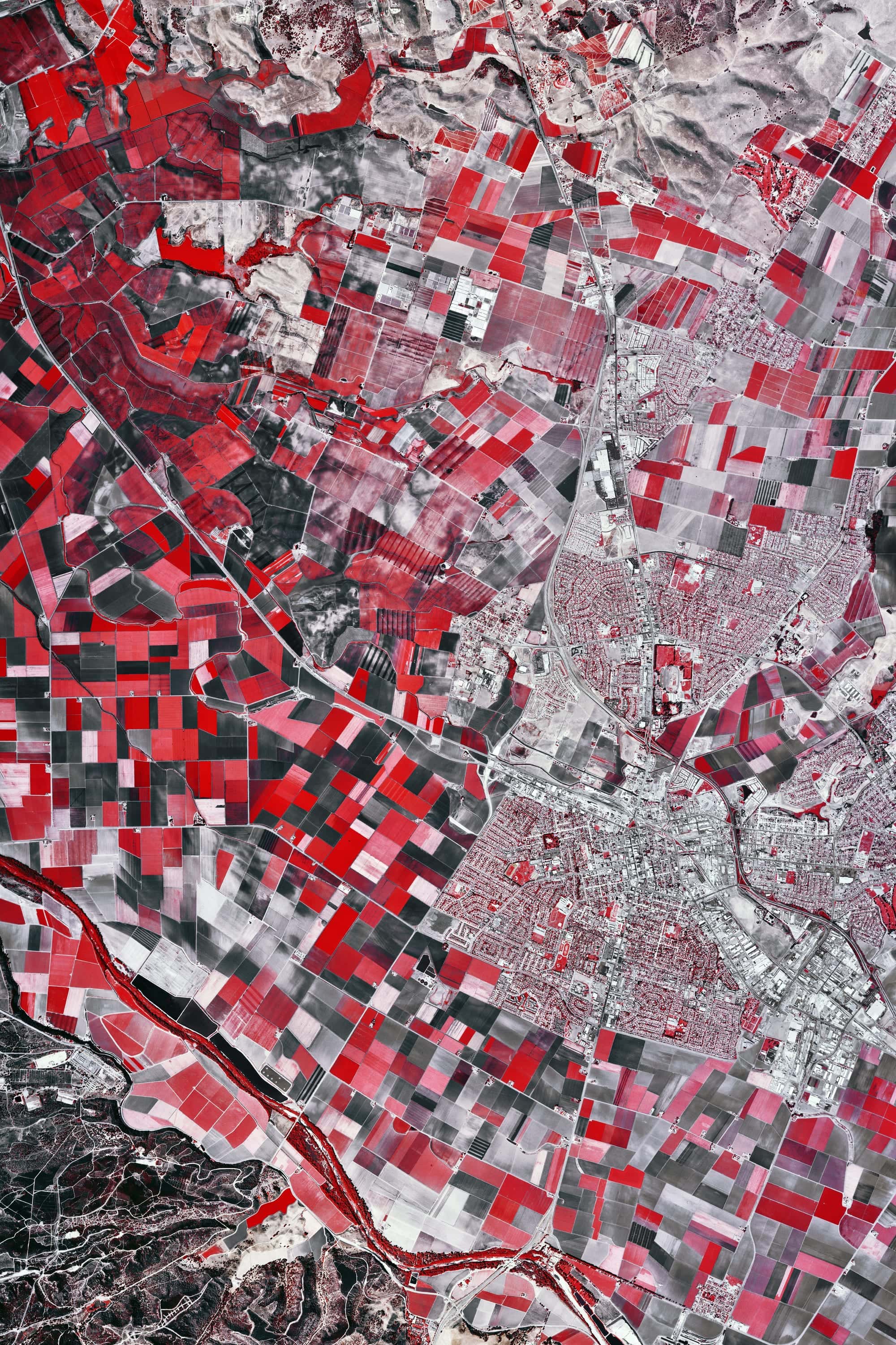
Salinas Valley Roll 467
CALIFORNIAPRINTS SOON
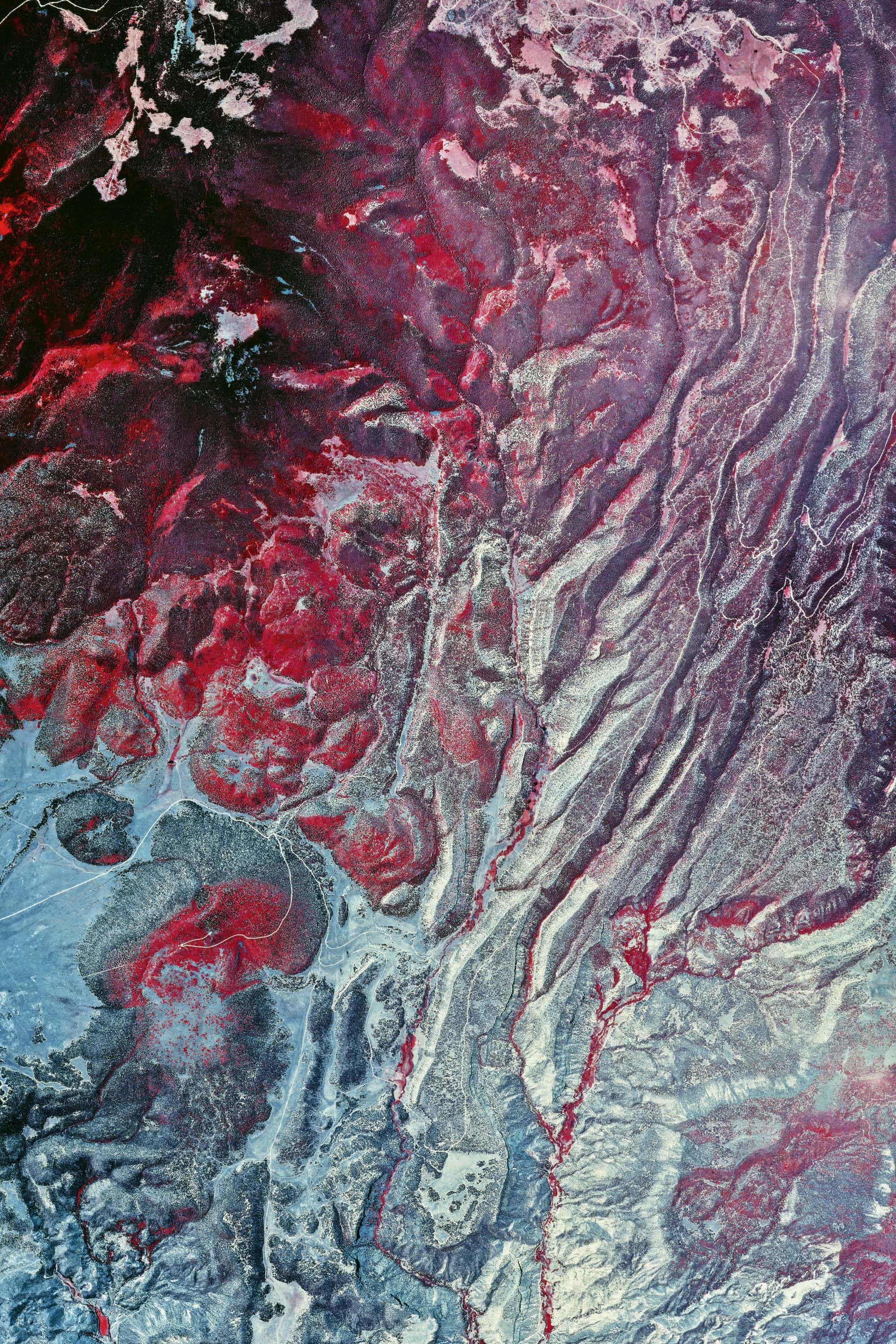
Valles Caldera Roll 419 · Ver. III
NEW MEXICOPRINTS SOON

Valles Caldera Roll 419 · Ver. II
NEW MEXICOPRINTS SOON

Ocotillo
FROM$49
SOUTHWEST

Kirkjufell
FROM$49
ICELAND

Sea Stacks
FROM$49
ICELAND

Moored Barge
FROM$49
NETHERLANDS

Park Lake
FROM$49
CINCINNATI

Thorned Branches
FROM$49
SOUTHWEST

Broken Window
FROM$49
FRANCE

Weir
FROM$49
FRANCE

Tree at the Pond
FROM$49
FIRST LIGHT

Roebling Suspension Bridge
FROM$49
FIRST LIGHT

Hvar Harbour
FROM$49
CROATIA
Source imagery courtesy of the U.S. Geological Survey, EROS Archive.