Catfish Ponds Roll 241
NHAP02 · 241-079/091ACQUIRED 4 OCTOBER 1985
$68
NOTIFY ME WHEN ORDERING OPENS
ABOUT THIS GROUND
Flat alluvial farmland in the Mississippi Delta, between the Yazoo and the Mississippi, where the catfish ponds are cut into the fields in rectangular blocks, each banked by levees and held under water. This is roll 241, frames 079–091, flown for the National High Altitude Photography programme on 4 October 1985 on nine-inch colour infrared film, from about 40,900 feet at roughly 1:59,500. On that film the ponds and the fields divide cleanly: standing water returns almost none of the near-infrared and comes back black, while the crops and levees around it register red.

2 FLIGHT LINESUNCROPPED FILMVIEW →
YOU MAY ALSO LIKE
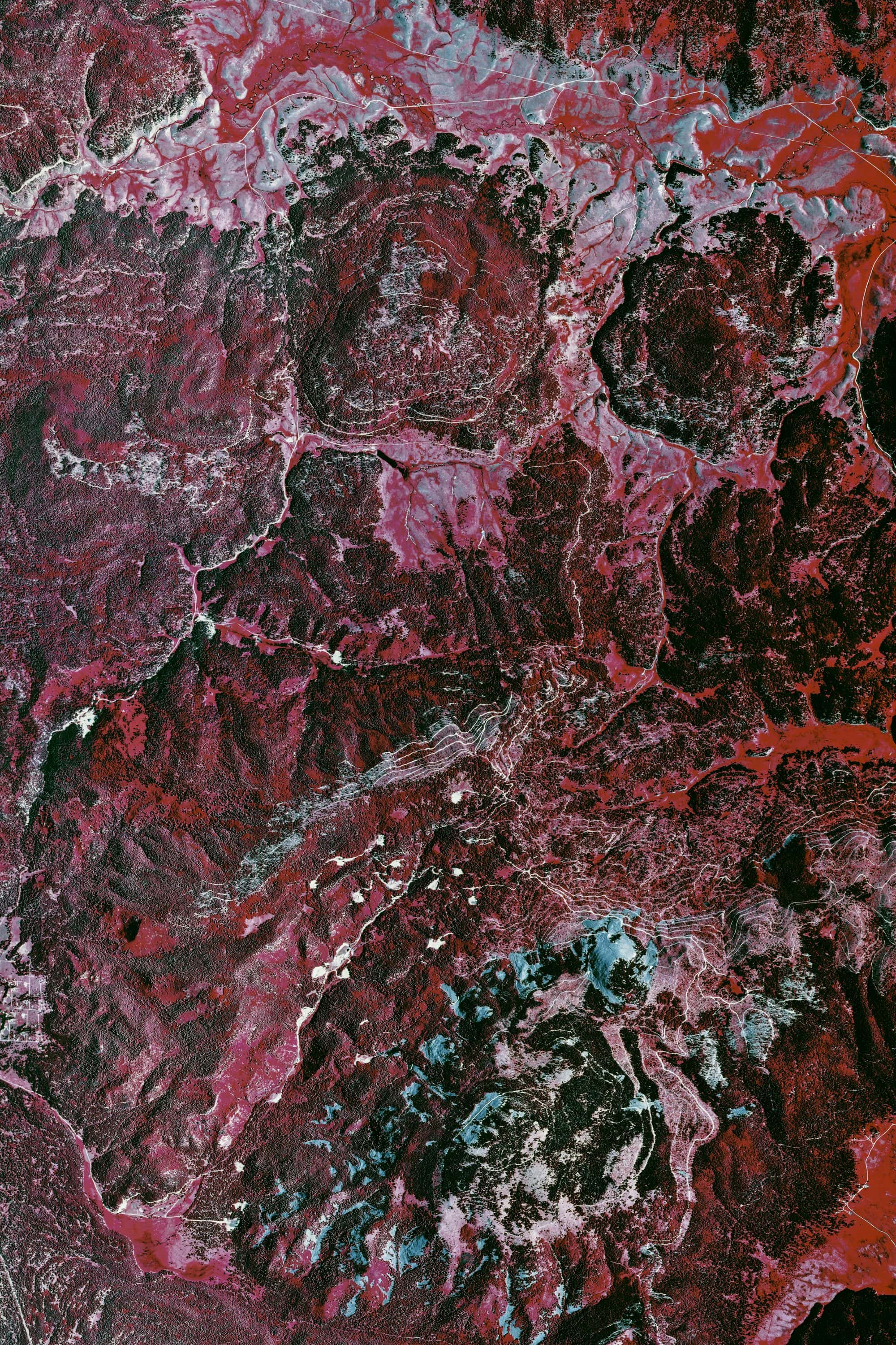
Valles Caldera Roll 417
NEW MEXICOPRINTS SOON
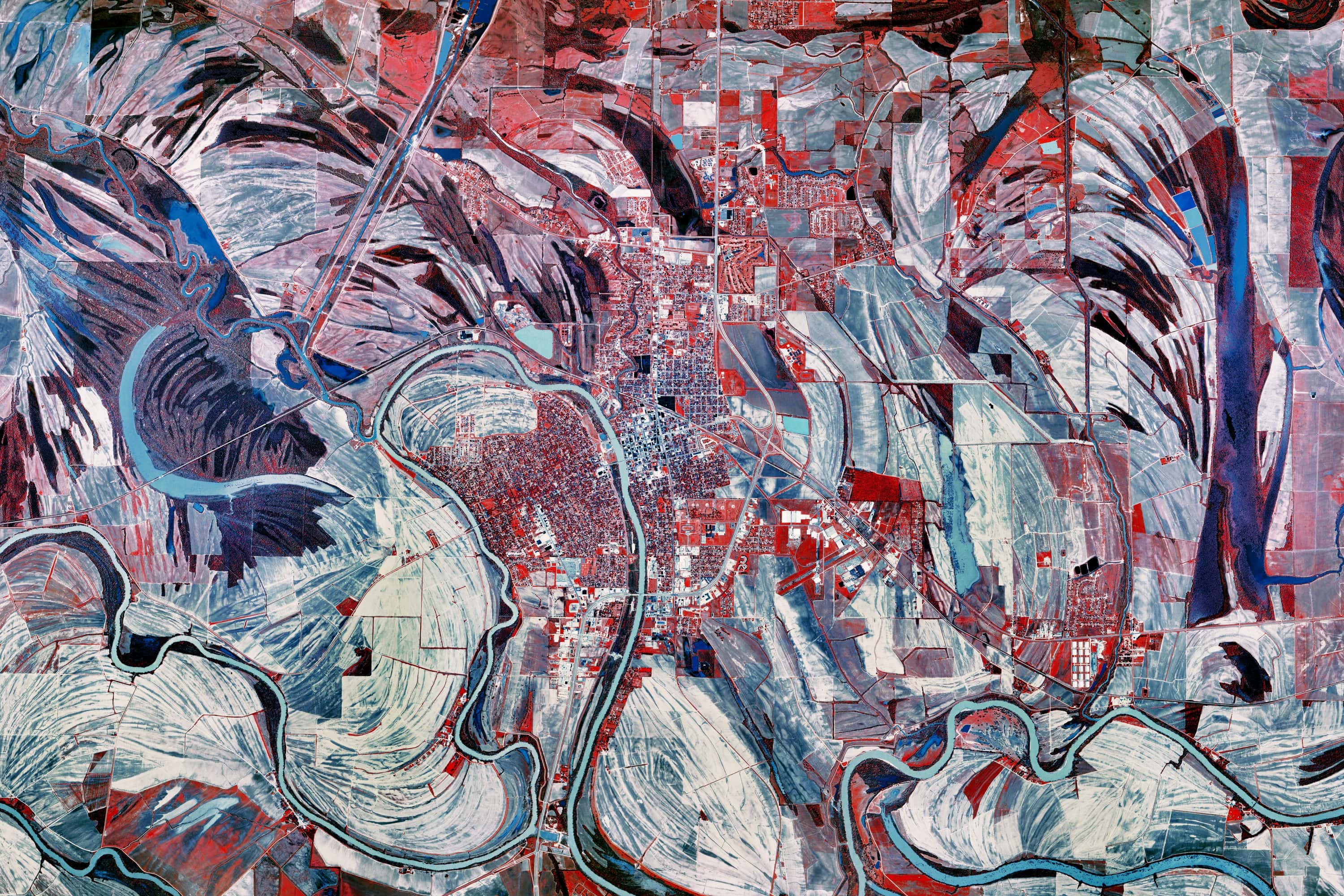
Catfish Ponds Roll 385
MISSISSIPPIPRINTS SOON
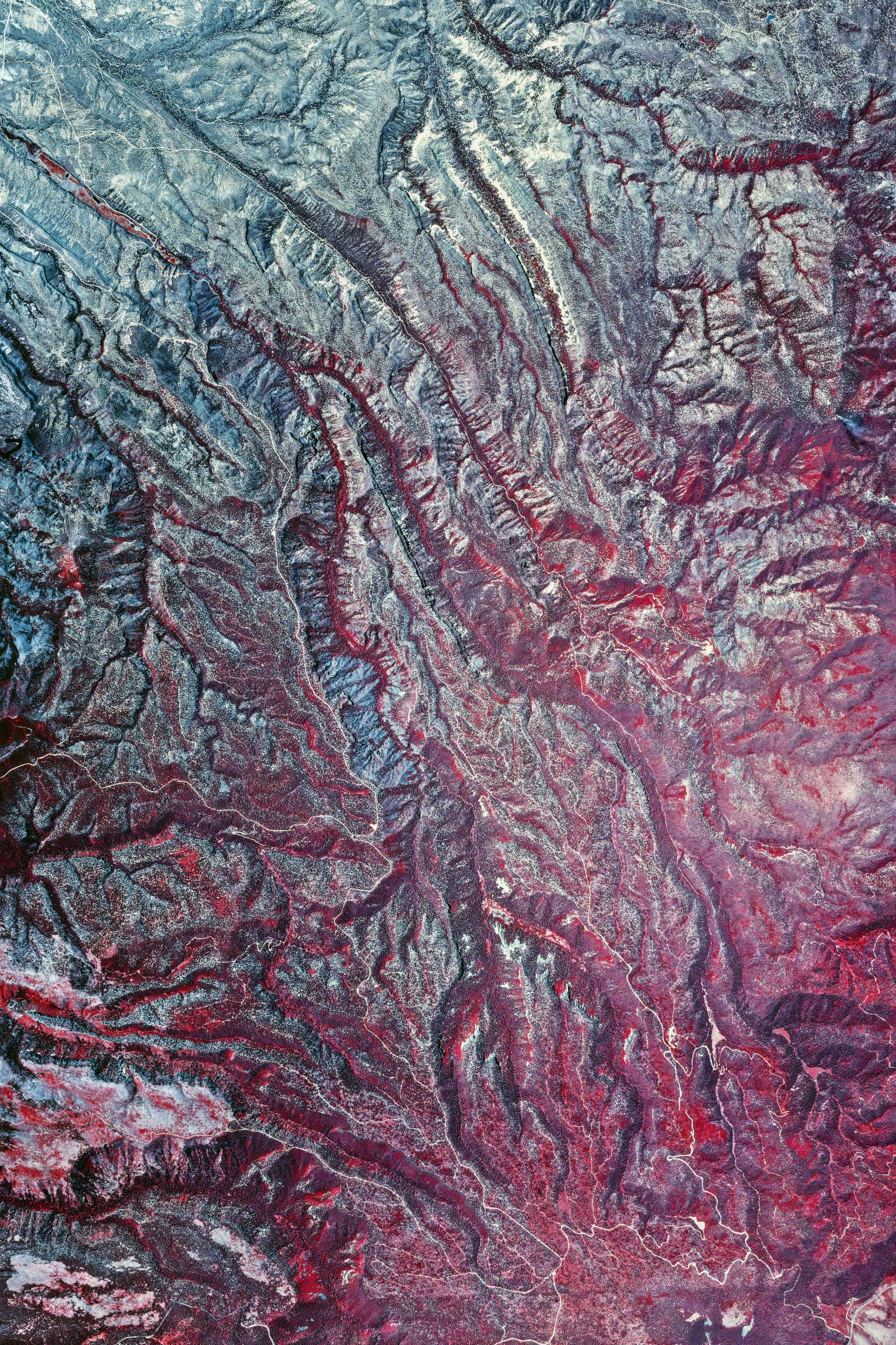
Valles Caldera Roll 419 · Ver. I
NEW MEXICOPRINTS SOON
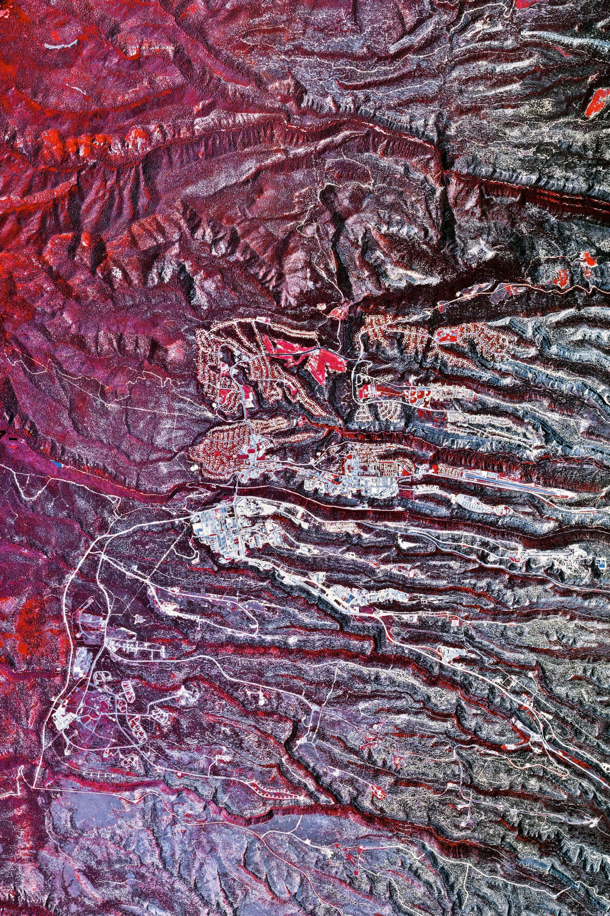
Valles Caldera Roll 377
NEW MEXICOPRINTS SOON
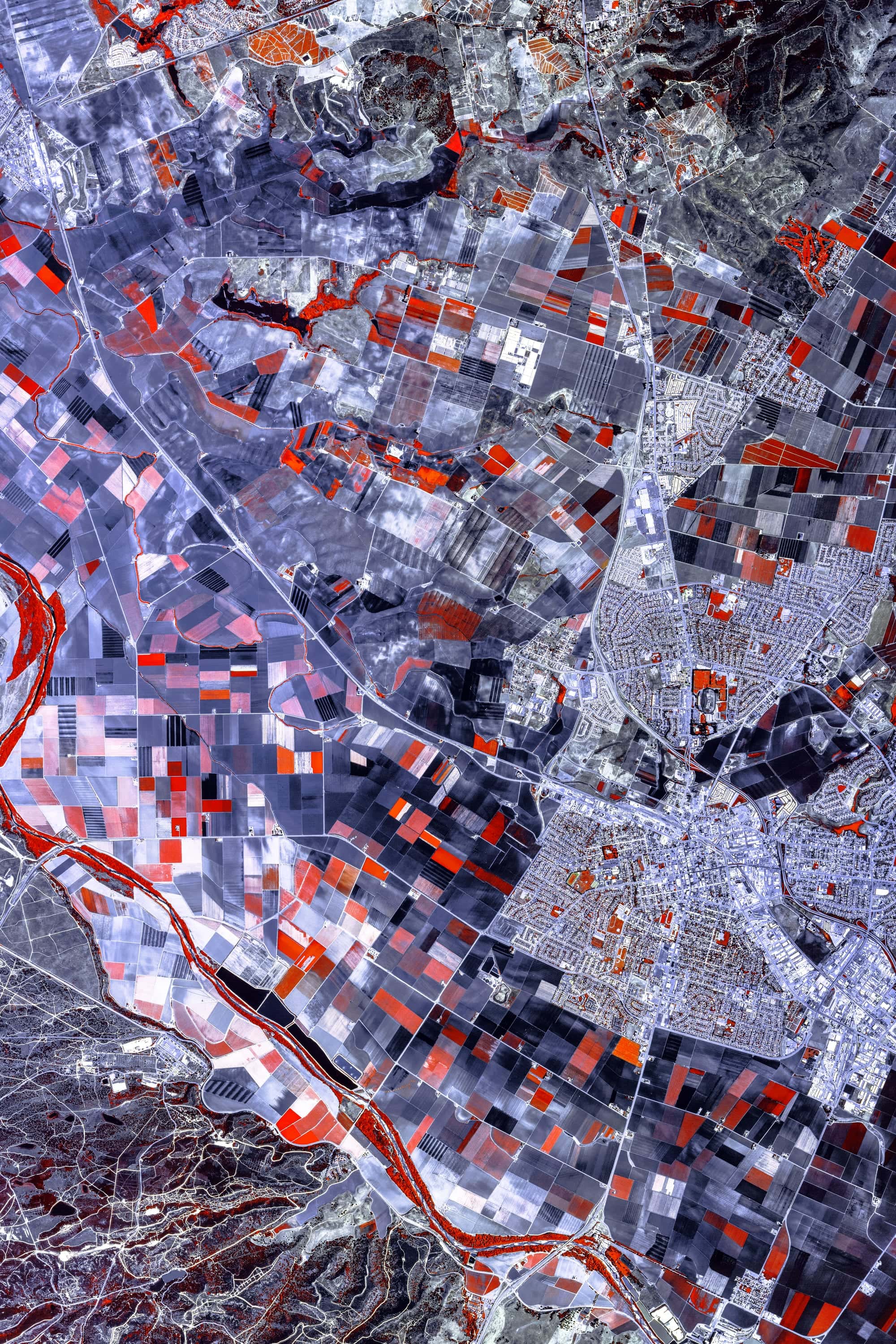
Salinas Valley Roll 337
CALIFORNIAPRINTS SOON
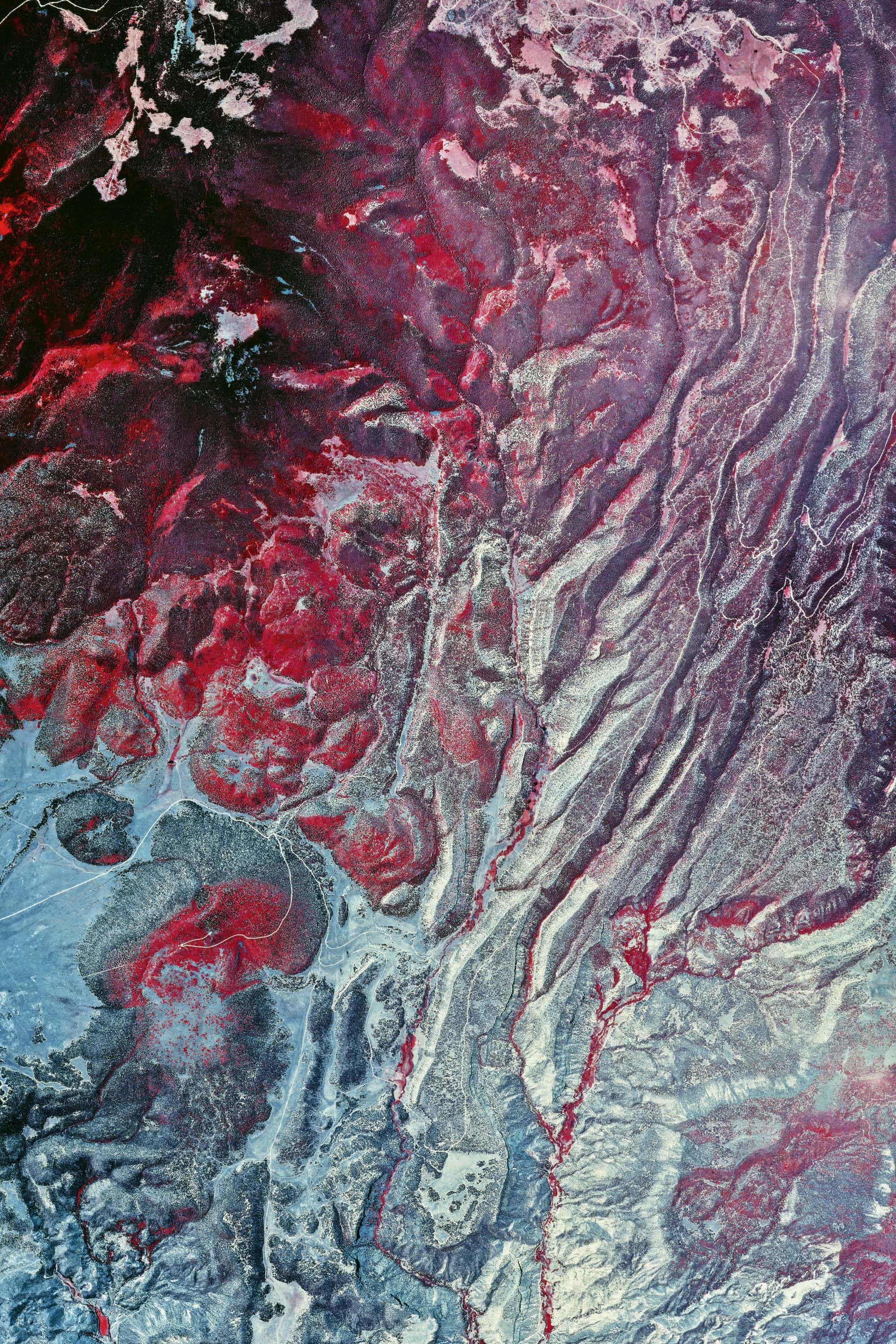
Valles Caldera Roll 419 · Ver. III
NEW MEXICOPRINTS SOON
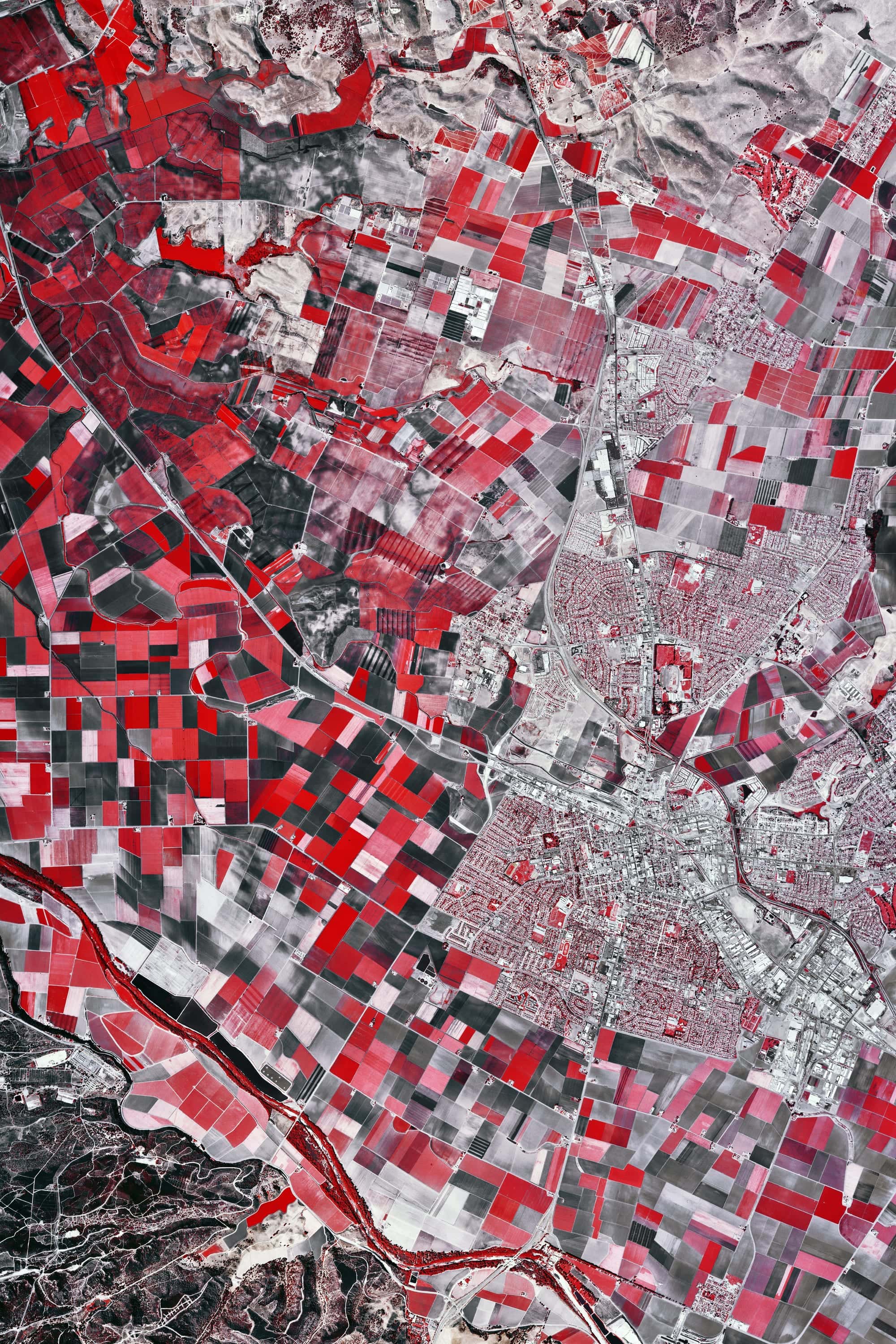
Salinas Valley Roll 467
CALIFORNIAPRINTS SOON
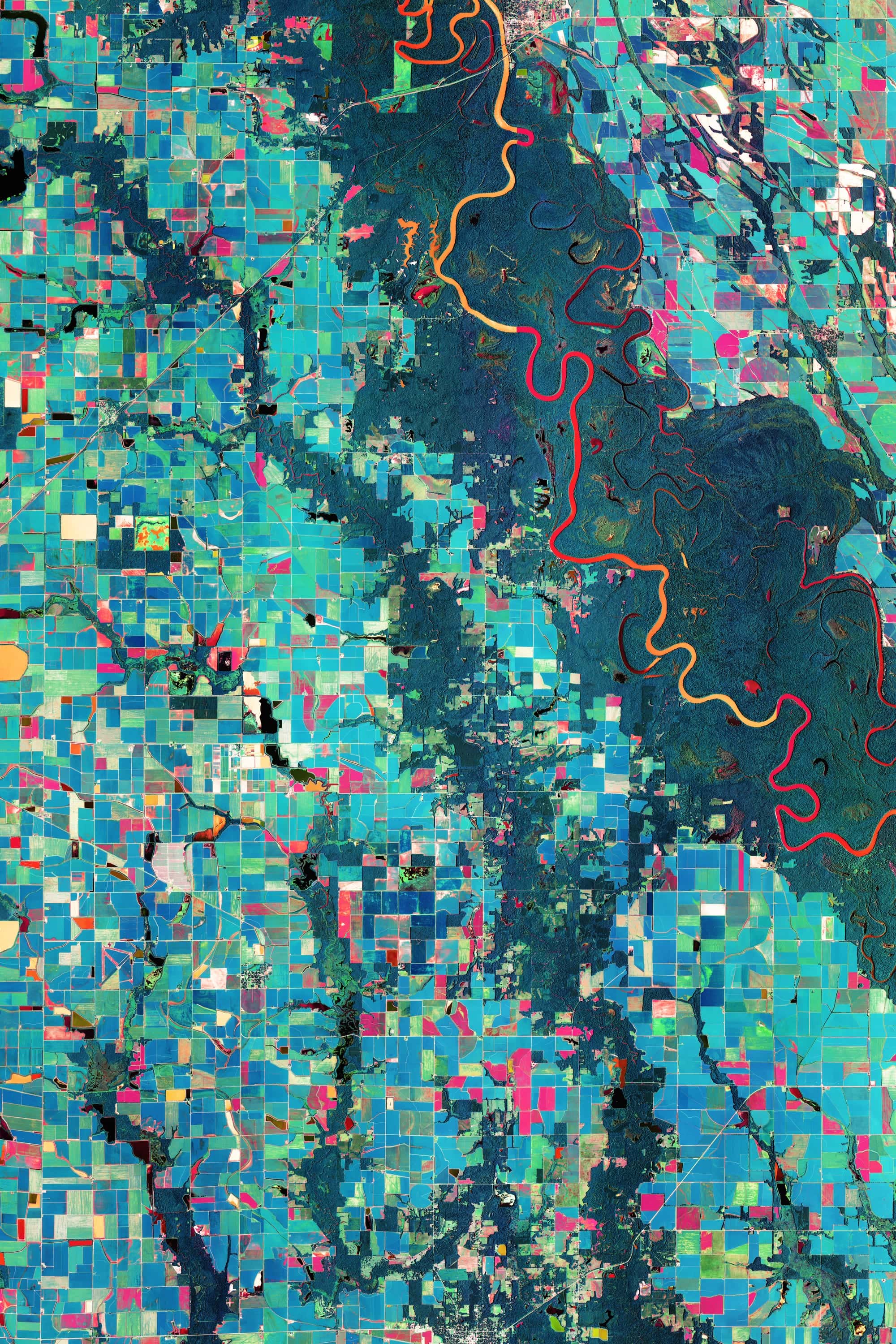
Arkansas Rice Fields NAIP 2019
ARKANSASPRINTS SOON
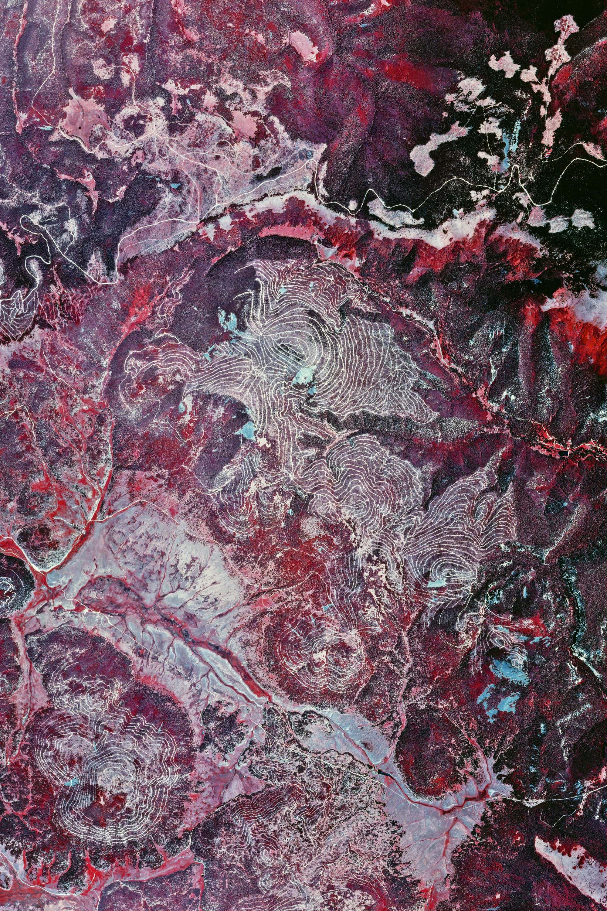
Valles Caldera Roll 419 · Ver. II
NEW MEXICOPRINTS SOON

Hie Shrine
FROM$49
JAPAN

Glass Towers
FROM$49
ATLANTA
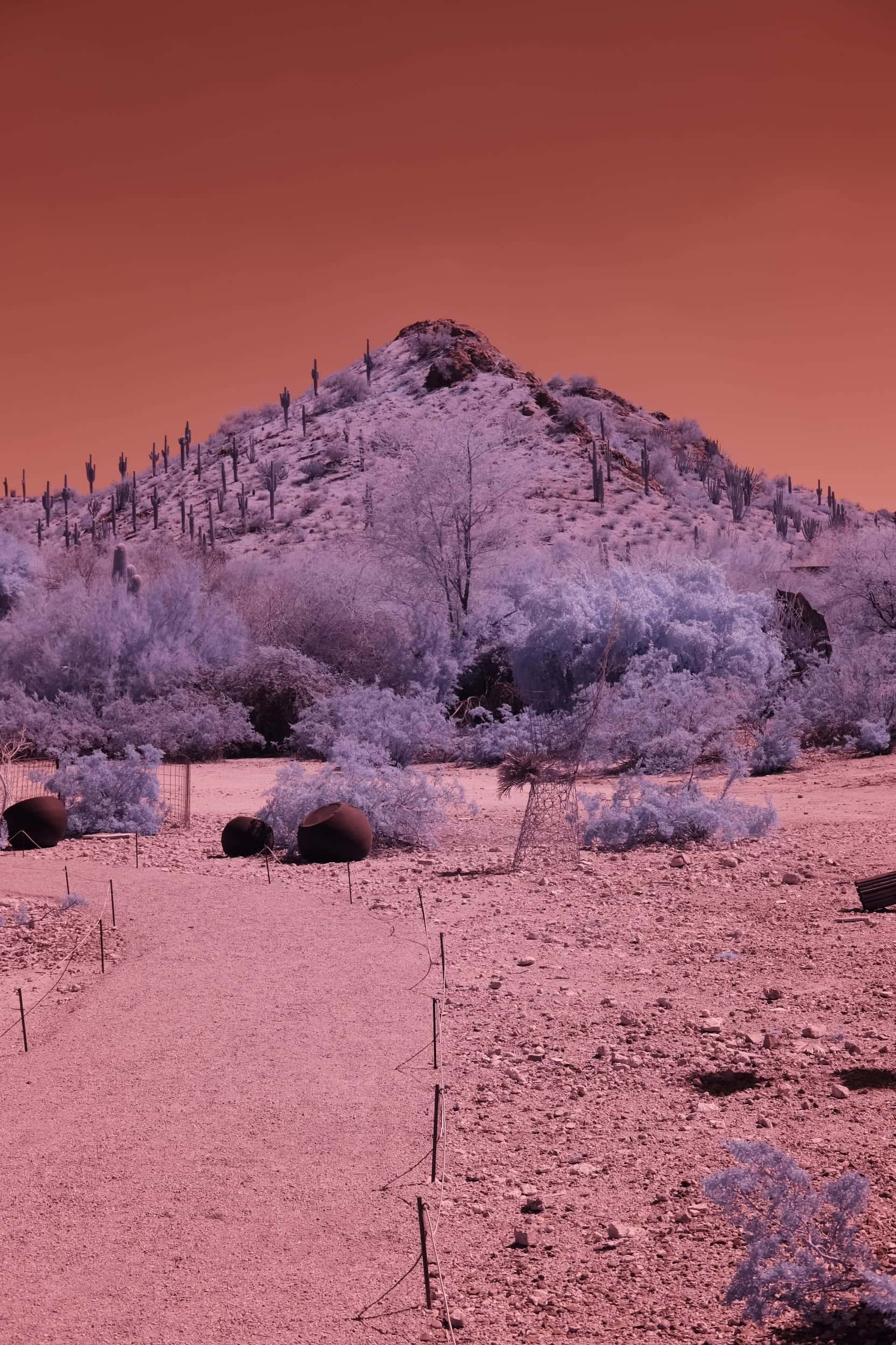
Desert Garden Path
FROM$49
SOUTHWEST

Dead Wood
FROM$49
FIRST LIGHT
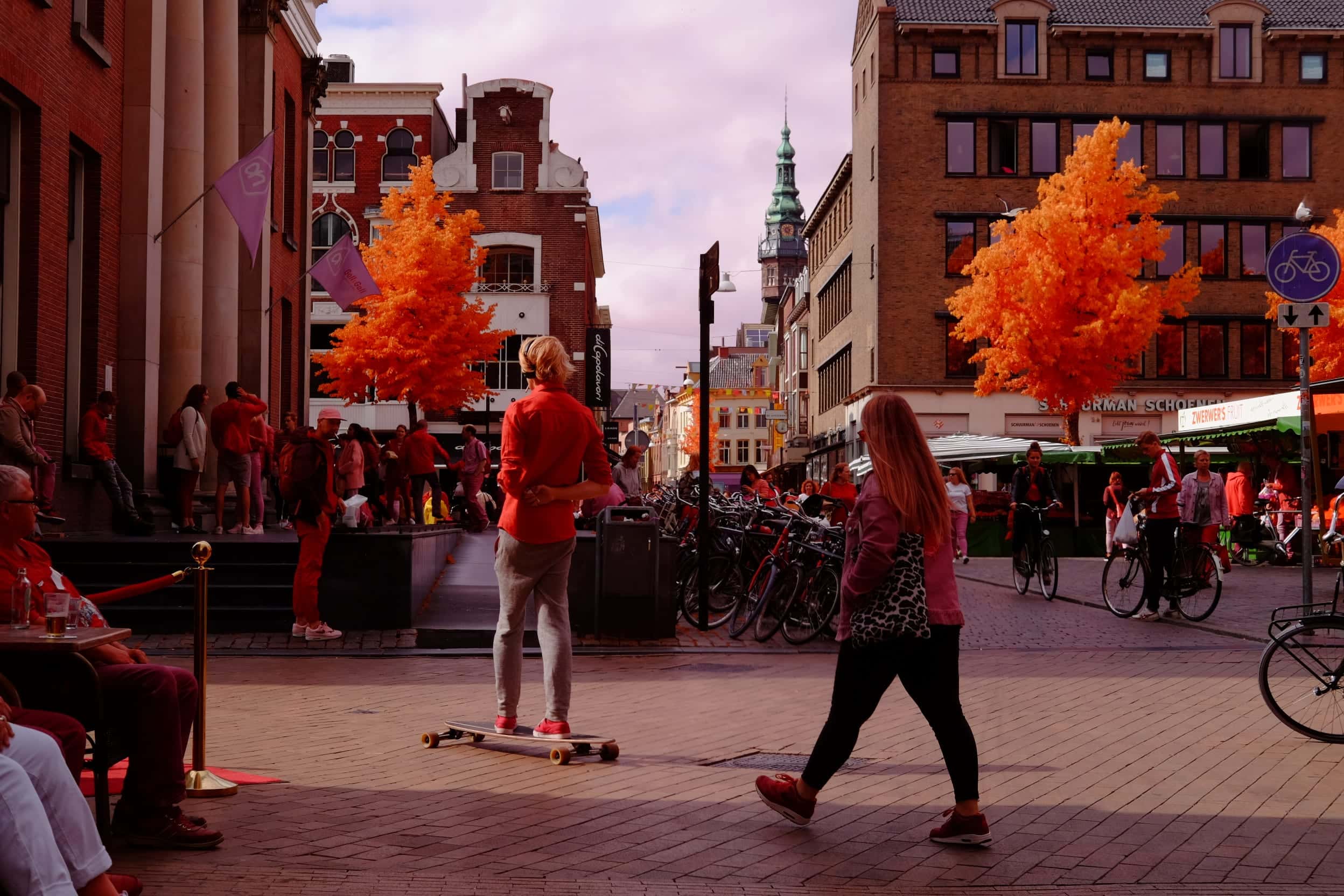
Market Square Skateboarder
FROM$49
NETHERLANDS
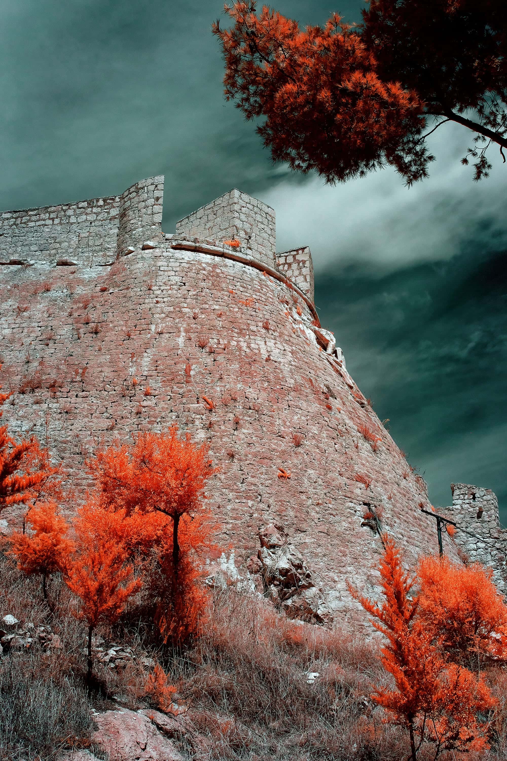
Fortica Walls
FROM$49
CROATIA

Rippled Glass
FROM$49
ATLANTA

Fortica Bastion
FROM$49
CROATIA
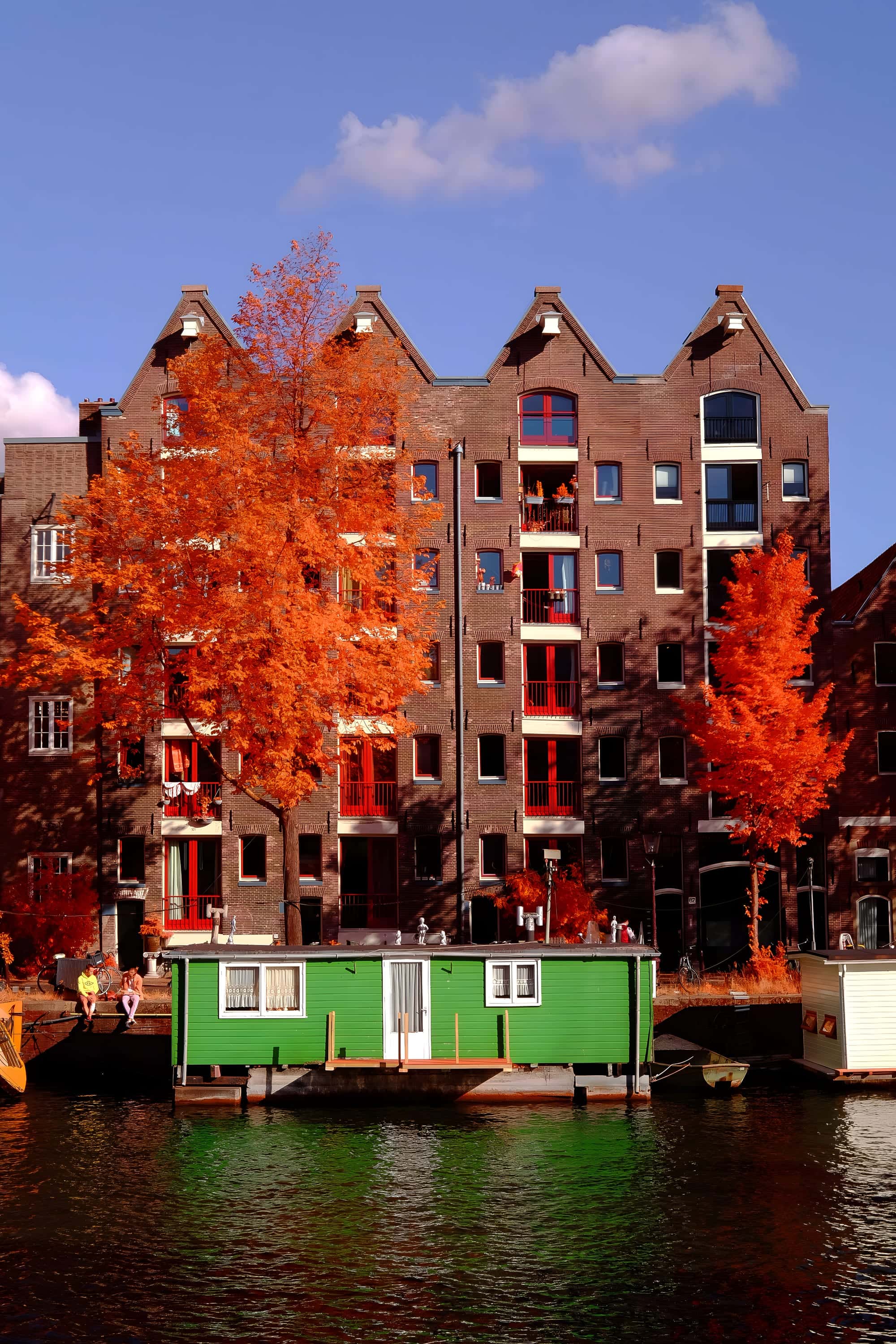
Green Houseboat
FROM$49
NETHERLANDS
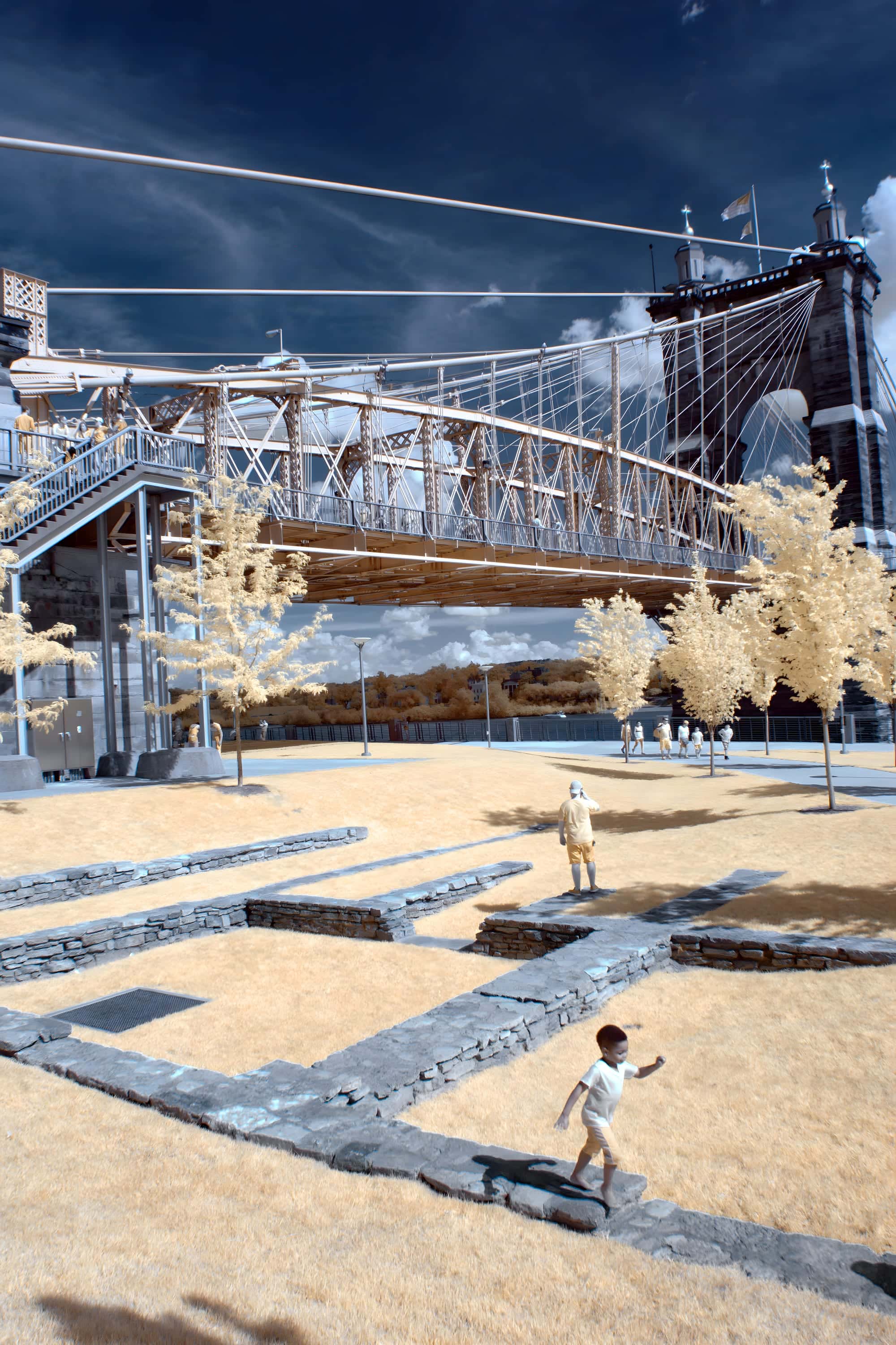
Roebling Suspension Bridge
FROM$49
FIRST LIGHT

Thorned Branches
FROM$49
SOUTHWEST
Source imagery courtesy of the U.S. Geological Survey, EROS Archive.